


DENVER — Denver, bundle up—it’s about to get very cold!
The National Weather Service (NWS) expects an even colder stretch across Denver and northeast Colorado from Thursday night through Saturday.

Arctic air will bring lows below zero from Friday night through Saturday morning, with wind chills east of I-25 possibly dropping below –15°, says the NWS.
Highs will climb to the 50s on Thursday before dropping sharply, reaching only the teens on Friday and Saturday.
"Lows Friday night would likely dip to or below zero with almost certainly below zero readings over the eastern plains, and then highs on Saturday would struggle again to push into the teens," according to the NWS forecast discussion.

The cold blast could cause slippery roads and reduced visibility as light to widespread snowfall is expected on Friday and into Friday night, following Thursday night’s flurries.
Although snow is expected to be light in the Denver metro area, with only 1-2 inches expected, the Front Range mountains could see 2-3 inches, while parts of the Western Slope may see up to 9 inches.
"Up to 2 inches of snow looks on track with slightly more possible over the mountains and over/south of Denver," according to the NWS.
A winter weather advisory has been issued for the western mountains from 5 a.m. Friday to 5 a.m. Sunday.

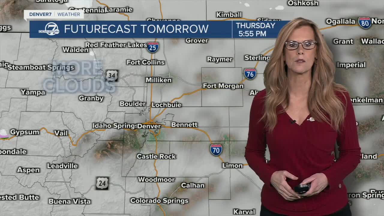
But before the cold hits, Denver will remain mostly sunny and quiet Wednesday and Thursday, with highs in the upper 40s to low 50s.
A warm-up arrives Monday and Tuesday, with dry conditions and highs back in the 40s and 50s.
DENVER WEATHER LINKS: Hourly forecast | Radars | Traffic | Weather Page | 24/7 Weather Stream
Click here to watch the Denver7 live weather stream.


Denver7 is committed to making a difference in our community by standing up for what's right, listening, lending a helping hand and following through on promises. See that work in action, in the videos above.


