


BOULDER, Colo. — The first week of December finally brought significant snow to the Denver metro, and now the Front Range mountains and foothills are bracing for strong, damaging winds, from late Monday through Tuesday.
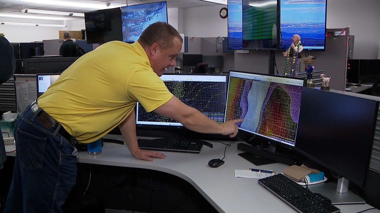
“This is the perfect time of year, and it's also the peak time of year for downslope wind storms in Colorado,” National Weather Service Meteorologist Paul Schlatter told Denver7 inside the NWS Boulder office Monday. “December, January, those are the two peak months of getting the strongest winds.”
As of Monday evening, a High Wind Warning is in effect for Colorado’s central and northern mountains, where sustained winds up to 50 mph and gusts up to 90 mph are possible.
A High Wind Watch is in place for the foothills and cities like Boulder and Fort Collins, which could see weaker but still significant wind gusts up to 60 mph.
Colorado weather: Dangerous winds expected across the Front Range and foothills
Denver7 spent some time Monday with Schlatter, one of those forecasting inside the National Weather Service’s Boulder office.

“For the most part, the wind should stay in the foothills above 7,000 feet, but in those areas, we're going to see gusts probably exceeding 80 miles per hour,” Schlatter said.
Winds 74 mph or higher are considered hurricane force.
“There is a lot of force when you're talking 70 to 90 mile per hour winds,” Schlatter said. “So yeah, calling them hurricane force, the impacts are going to be roughly the same as in a hurricane.”
Schlatter said the high country needs to brace for blowing snow, difficult travel, ski resort disruptions or lift closures, as well falling tree limbs or power lines.

There’s always a worry that a wind event could become a fire event. Four years ago, a December windstorm fueled the Marshall Fire in Boulder County, which quickly exploded into the most destructive wildfire in Colorado history.
PREVIOUS COVERAGE:
- Strong winds stir up emotions for Marshall Fire survivors on 3-year mark of disaster
- New research says sustained hurricane-force winds are to blame for Marshall Fire devastation
But Schlatter said the conditions are different this time.
“We just got a really good snowfall,” Schlatter said. “And there's still some snow out there, especially in the shaded areas. The ground is still covered in snow. For the Marshall Fire, we didn't even have any real snow, period, up until that fire started. So the fuels that the fires can feed off of [are in] much better shape this time around.”
The National Weather Service advised Tuesday’s winds will increase fire risk in areas such as the northern plains, which did not receive significant snowfall last week.

