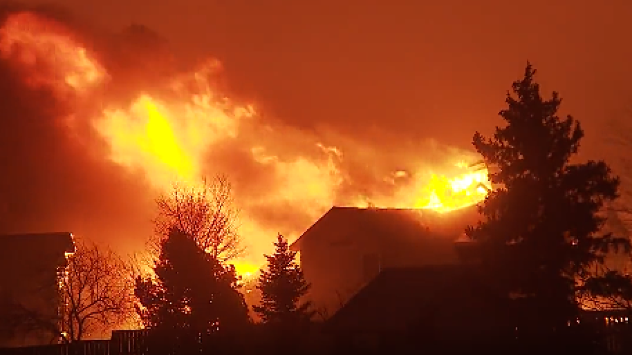
BOULDER, Colo. — No matter what came first — the wind or fire — hurricane-force gusts that blew for almost a day without stopping enabled the Marshall Fire to spread as far and quickly as it did on December 30, 2021, new research out of Boulder shows.
Eric James, a research physical scientist at the National Oceanic and Atmospheric Administration (NOAA) Global Systems Lab, and Stan Benjamin, a senior research associate for the Cooperative Institute in Research and Environmental Science (CIRES), are two of the authors of a new research article that studied the windstorm behind the Marshall Fire. Their research began the night the fire started.
“Our high-resolution NOAA National Weather Service Model, it was designed to be able to do the best possible job that we can now do for extreme weather events, especially localized severe weather events. We knew that the High-Resolution Rapid Refresh (HRRR) model was being used for this particular case that day back on Thursday, December the 30th. But we didn't quite know how, and how well it was handling that situation. So, we started looking into it right then," Benjamin said.
The research shows the Marshall Fire was driven by a strong downslope windstorm, and the intensity of the gusts was sustained for almost 11 hours. Data from NOAA shows winds ranged from 75 mph to 115 mph in the area that day.
“It was important for the fire to get started. The winds had to get up there, you know, close to 100 miles an hour for those two ignition sources to occur. And then for that spread, you know, eastward across Boulder County and Superior and Louisville required that strong wind to occur over several hours," said Benjamin.
The two scientists agreed, after their research, that at its core, the Marshall Fire was a massive windstorm.
“There's lots of other places in the US that get downslope windstorms, but maybe none with such a population density as here along the Front Range of Colorado," said James.
The research found the models on the day of the Marshall Fire were accurate, but that advancements in technology and new tools should allow for more time between the forecast and a predicted weather event.
“When they saw [the wind gusts] hour after hour, that allowed them then to make a decision and issue a county-wide high wind warning, which was very important and resulted immediately in a fire ban across all Boulder County. Great," said Benjamin. “To be able to better predict this large scale jet stream, had it been able to be predicted 50 miles further south from the next trip to over 24 hours ahead, probably would have improved the forecast. To be able to improve people's decision-making from weather data, in all these situations, almost every day, that's what our job is. Not just in the severe weather days, but certainly in those extreme days.”

“There are these catalyst events that occur every now and then. Sadly, it takes often a really severe event to get people's attention and make them realize that we have work to do, to improve forecasts of these situations," said James.
Their goal is to improve forecasts every day, especially critical weather days. An article summarizing the research, written by NOAA, states, "Living through the Marshall Fire has helped underscore ways to improve readiness, forecasts, and warning dissemination. Advances in numerical weather models will provide longer lead times and more geographical accuracy, the authors said. New tools, like the Global Systems Laboratory’s Hourly Wildfire Potential Index, which distills modeled predictions of temperature, winds, and soil moisture from national models into a geographical fire risk index across the nation during the day, can improve awareness of rapid changes in hazardous fire weather conditions for first responders."
Working with the National Weather Service (NWS), Benjamin and James said there will likely be changes to the criteria needed to issue a Red Flag Warning, which was not sent out on the day of the Marshall Fire. That day did not meet the relative humidity requirements, which Benjamin said are based on warm fire seasons. The two believe it may be altered to accommodate all seasons.
Coloradans may see fire warnings issued in the future by the NWS, which would be similar to a tornado warning, according to Benjamin and James.


