DENVER — Up to 3 more inches of snow accumulation was possible in some areas of Colorado’s Front Range Saturday which already added to snow packed roads meaning motorists should stay alert to icy and slick conditions throughout the evening hours.
A winter weather advisory has been issued until 2 p.m. which includes Denver’s western suburbs, Boulder, Fort Collins and Greeley for additional snow creating treacherous driving conditions.
“If you are out and about definitely be prepared for that snow falling and some icy spots especially on bridges and overpasses and roads that have not been treated,” said Katie LaSalle, Denver7 meteorologist. “Just be careful out there if you’re doing any traveling.”
While Denver is not in the winter weather advisory, LaSalle said the metro could see another half-inch of accumulation before the snow finally ends by this afternoon.
The storm system will continue to swirl east out on the plains on Saturday bringing snow and periods of gusty winds and limited visibility.

A winter weather advisory was also in effect for Gore and Elk Mountains, Flat Tops and Central Mountain Valleys until 11 a.m. and has since been allowed to expire.
Check all Colorado weather alerts
Along with the precipitation, bitter cold temps below the freezing mark will remain across the state today through the overnight hours.
Denver’s afternoon high temperature on Saturday will struggle to reach 25 degrees. Mountain communities will see high temperatures in the 10s with many ski resorts reporting fresh powder.
“We’re seeing heavier snow into the San Juan Mountains and into many of our central mountain towns where a winter weather advisory will stay into effect until 11 a.m.,” said LaSalle.
After a morning burst of snow, Denver’s skies should become mostly cloudy and the precipitation should begin to taper off during the late morning hours. Across the eastern plains, from Fort Morgan to Akron, heavier snowfall is expected to hang around longer through the day.
Snow showers are possible in Colorado’s high country through Saturday evening but elsewhere across the state, including along the Front Range and plains, the moisture should shift east bringing drier conditions by the afternoon hours, the NWS said.

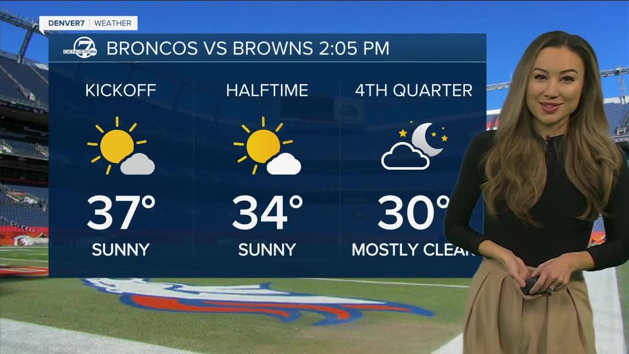
For Denver Broncos fans headed to Empower Field at Mile High on Sunday to watch the game, skies should be sunny but it will be chilly by the 2:05 p.m. kickoff. The game will start with temps around 37 degrees before quickly dropping to the upper 20s by the 4th quarter.
You shouldn’t need an umbrella, just dress warmly.
The good news: There is a warming trend is on Denver’s 7-day forecast. Sunny skies will prevail and high temps reaching near 50 degrees by Wednesday will help to melt the snow.


WEATHER LINKS: Closings and Delays | Latest forecast | Radars | Traffic | Weather Page | 24/7 Weather Stream
You can always watch 24/7 weather, radar and news updates on the free Denver7+ app on your TV.
Click here to watch the Denver7 live weather stream.


