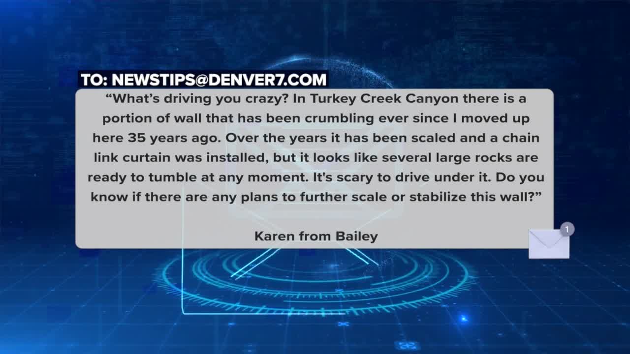


JEFFERSON COUNTY, Colo. — Karen from Bailey writes, “What’s driving you crazy? In Turkey Creek Canyon, on the north side of the highway right across from the Mt Lindo cross, is a portion of wall that has been crumbling ever since I moved up here 35 years ago. Over the years it has been scaled and a chain link curtain was installed to contain the falling rock, but it looks like several large rocks are ready to tumble at any moment. It's scary to drive under it. Do you know if there are any plans to further scale or stabilize this wall?”
Yes, CDOT is looking at doing some work at that site as well as other sites along 285, but maybe not as soon as you may like.
- Watch the segment in the video player below:
When you drive west along the southbound lanes of 285 past Morrison, it appears there are several areas of concern with rocks right next to and hanging above the roadway. The specific area Karen is talking about is just after mile marker 247, about a mile shy of Parmalee Gulch Road. When I was getting video of this spot, I noticed a fairly steep slope with vegetation and several large boulders exposed out of the soil. There is also wire mesh draped over the majority of the slope, including over several large boulders, some nearly the size of a car.
The rockfall mitigation company Geostabilization International says rockfall wire mesh is specifically designed to stabilize slopes and prevent rocks or debris from falling by acting as a barrier, intercepting and containing falling rocks, thus minimizing the risk of damage and ensuring the safety of people and assets in areas prone to rockfall hazards.
MORE: Read more traffic issues driving people crazy
Right next to the right lane of Highway 285 in this area is a concrete barrier wall. On the slope side is a substantial pile of rocks. Most are fairly small but I also had to climb over several very large boulders that had previously fallen right next to the concrete barrier wall. The wall is there to prevent rocks from making it to the road surface. All of the rocks I saw were large enough to my eye to cause damage to a vehicle if any of them had fallen onto the roadway.
I asked CDOT about their mitigation efforts here. I was told they have a team that works to respond to geohazard concerns statewide by evaluating the likelihood and consequences of rockfall at specific sites like this one. “CDOT recognizes the potential for rocks to fall from this slope and has constructed mitigation elements to reduce the risk of those reaching the roadway. At this particular location, the ditch was cleared in 2024 to accommodate future slope erosion. We are in the early stages of scoping work for future geohazard mitigation efforts along Highway 285 in the upcoming years which could include activities like rock scaling, rock reinforcement, rockfall mesh installation in locations where it doesn't currently exist, or ditch catchment improvements.”
The most concerning time in Colorado for any area with rocks above a roadway is in the spring when melting snow makes the soil wet during the day but then freezes overnight. That freeze thaw cycle contributes to loosening up rocks on the slope leading to gravity taking over. CDOT has rockfall mitigation measures in place to try to reduce the risk of rockfall impacting the roadway, but that coverage doesn't exist everywhere. The state geotechnical team tells me it is important for drivers to always be aware of their surroundings and obey posted traffic speeds so they will be able to react quickly if they see any debris that may be in the roadway.
If you do see rocks on the road, you should notify law enforcement right away. Then CDOT wants to know by using their COTRIP phone app to report it. There is an orange, rockfall icon on the top right that when selected allows for reporting rockfall locations. I was told that this tool is not used to deploy emergency response efforts, but instead used in helping the geohazards team quantify rockfall frequency for future mitigation efforts.
“It is important to recognize that geohazards can happen sporadically and can be unpredictable,” the state geotechnical team tells me. “They can occur at any time from almost any location along a slope. Our team does our best to identify high risk sites and direct limited funding towards risk reduction measures, but rockfall risk exists along mountain corridors and road users should be aware of that.”
If you care to learn more about rockfall hazards in Colorado, the Colorado Geological Survey put together an informational newsletter called RockTalk that goes into great detail specific to our state and covers the wide-ranging issues related to this geologic hazard.
Denver7 Traffic Expert Jayson Luber says he has been covering Denver-metro traffic since Ben-Hur was driving a chariot. (We believe the actual number is over 25 years.) He's obsessed with letting viewers know what's happening on their drive and the best way to avoid the problems that spring up. Follow him on Facebook, Twitter or Instagram or listen to his award winning Driving You Crazy podcast on any podcast app including iTunes, iHeartRadio, Spotify, Podbean, or YouTube.
WHAT'S DRIVING YOU CRAZY? DENVER7'S JAYSON LUBER ANSWERS YOUR QUESTIONS.
-

Why does I-25 go from 4 lanes to 3 lanes at County Line then back to 4 lanes?
-
When are they going to fix the bumps on I-76 from Julesburg to Sterling?
-
Someone should probably look into the crumbling Manilla Road, I-70 overpass
-
Why are DIA's close-in parking lot accessible spaces roped off?
-

Why are you allowed to use the crosswalk on only one side of 120th and Chase?


