


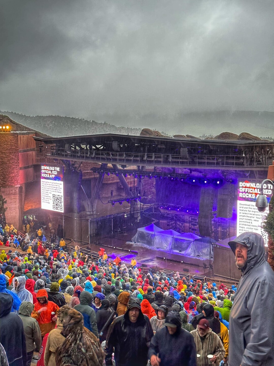
DENVER — After 48 hours of widespread and record-shattering rain in the Denver metro region and across the northeast portion of Colorado, the deluge is finally coming to an end as heavier rain will begin to diminish Friday afternoon.
On Thursday, a new daily rainfall record was set at Denver International Airport reporting 2.92" which broke the previous record of 1.55" set back in 2011.
For context, the National Weather Service in Boulder said yesterday's rainfall total was the 8th highest single-day precipitation total ever recorded for Denver.
While rain will continue in Denver's forecast for Mother's Day weekend, the majority of heavy rain will pass through by Friday.
A flash flood watch that covered the area expired at Noon, but some flood warnings remain in effect for low-lying, flood-prone areas. Here's a look at how much rain has been reported by various weather recording sites over the past 2 days.
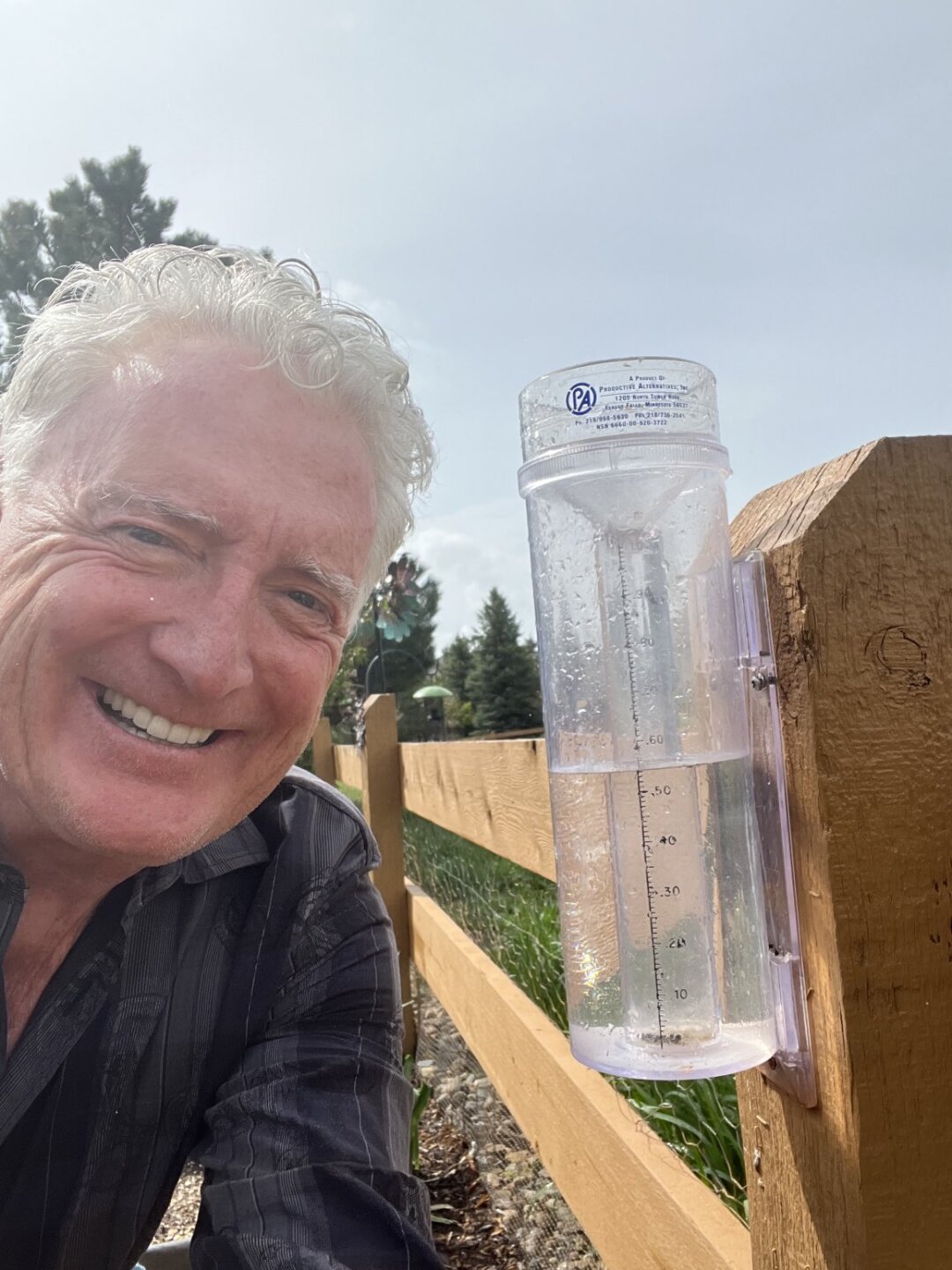
Colorado rain totals as of early Friday afternoon
7.0 SSW Henderson: 6.42”
1.0 WW Nordheim: 5.95”
2.7 SSE Hot Springs Village: 5.36”
WNW Castle Rock: 5.30”
4.7 S Benton: 5.08”
3.8 W Gary City: 5.08”
Rockport: 5.08”
12.6 NW Gordon: 5.07”
12.4 SSE Aurora: 4.93”
2.7 SE Highlands Ranch: 4.90”
7.2 S Sedalia: 4.70”
6.6 WSW Hampton: 4.70”
4.5 NW Aurora: 4.67”
Saucier: 4.64”
3.7 ESE Foxfield: 4.64”
1.6 WSW The Pinery: 4.61”
1.7 ESE Brighton: 4.58”
3.3 S Aurora: 4.48”
6.3 SSE Denver: 4.44”
10 S Watkins: 4.42”
1.9 N Cherry Creek Reservoir: 4.40”
2.3 SSW Parker: 4.35”
2.7 WSW Aurora: 4.33”
5.5 E Centennial: 4.14”
4.1 NW Castle Rock: 4.08”
7.4 W Pearland: 4.06”
Imperial: 4.03”
Carthage: 4.02”
1 NNW Enders: 4.01”
Palmer Lake: 4.00”
5.9 S Yoakum: 3.96”
3.2 N Monument: 3.95”
1.9 SSW Gloster: 3.92”
3.9 NNW Dix: 3.92”
1.9 W Centennial: 3.88”
3.5 SE Denver: 3.82”
Highlands Ranch: 3.81”
8.6 S Wauneta: 3.80”
5.1 SSE Denver: 3.78”
Surrey Ridge: 3.76”
2.0 NE Keithville: 3.75”
5.0 ESE Littleton: 3.74”
Atwood: 3.70”
Lone Tree: 3.67”
1.4 SE Vidor: 3.65”
2.6 ESE Denver: 3.64”
1.9 SW Axtell: 3.64”
2.8 ENE Castle Pines: 3.51”
6.1 SW Deer Trail: 3.51”
11.9 S Strasburg: 3.45”
6.9 NNW Kirbyville: 3.41”
10.8 ENE Cuero: 3.37”
5.2 S Denver: 3.34”
Colby: 3.31”
Byers: 3.30”
12.9 W Sidney: 3.30”
4.0 ENE Fouke: 3.30”
1 NE Denver: 3.28”
5.7 SW Littleton: 3.24”
2.0 NNW Hallettsville: 3.22”
Granite Shoals: 3.20”
7 NNE Colorado Springs: 3.12”
Nederland: 3.10”
1.9 NE Bigelow: 3.10”
3.5 ENE La Grange: 3.09”
6.5 ENE Mansfield: 3.03”
4.2 SSE Westminster: 2.99”
2 NW Chatfield Dam: 2.97”
1.2 ENE Wheat Ridge: 2.83”
6.2 NNE Thornton: 2.78”
Denver Botanic Gardens: 2.72”
1.7 SSE Arvada: 2.66”
Source: Community Collaborative Rain, Hail & Snow Network
LEARN MORE: Hourly forecast | Radars | Traffic | Weather Page | 24/7 Weather Stream
Click here to watch the Denver7 live weather stream.
