


DENVER — A "high impact wind event" expected to bring up to 90 mph gusts across the Front Range foothills Wednesday ended up beating expectations, with gusts reaching Category 2 hurricane strength in some areas.
Officials from the National Weather Service in Boulder said earlier this morning the strongest wind gusts were expected to occur between 12-5 p.m, with 70-90 mph gusts likely for the area.
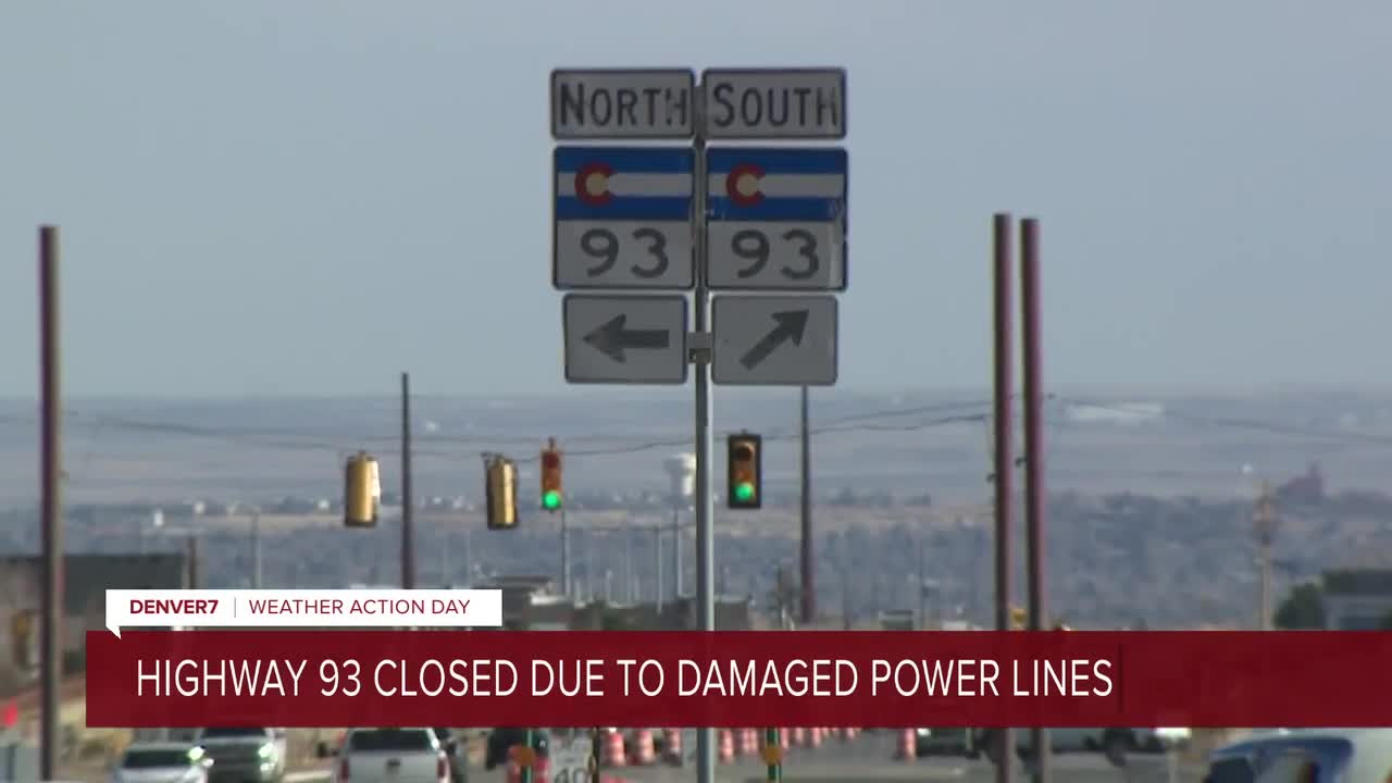
High winds did indeed arrive by Wednesday afternoon, with the NCAR Mesa Lab southwest of Boulder registering gusts of up to 96 mph, the Arvada RAWS station near Highway 93 registering gusts of up to 93 mph, and Boulder Airport recording 87 mph wind gusts.
But wind reports from across the Front Range show some parts of the Front Range saw Category 2 hurricane speeds, which are defined as sustained gusts between 96 and 100 mph, according to the National Hurricane Center. Check them out for yourself below:
- 109 MPH — 3 NW Marshall, Colorado (Boulder)
- 102 MPH — 3 SW Rocky Flats, Colorado (Jefferson)
- 95 MPH — 1 NE Crisman, Colorado (Boulder)
- 93 MPH — 4 SSW Rocky Flats, Colorado (Jefferson)
- 91 MPH — 1 S Boulder, Colorado (Boulder)
- 87 MPH — 1 ENE Boulder, Colorado (Boulder)
- 87 MPH — 2 NW Rocky Flats, Colorado (Jefferson)
- 80 MPH — 3 S Boulder, Colorado (Boulder)
- 78 MPH — 4 SSW Lyons, Colorado (Boulder)
- 74 MPH — 3 S Pine Grove, Colorado (Jefferson)
- 74 MPH — Floyd Hill, Colorado (Clear Creek)
- 73 MPH — 2 S Cheesman Reservoir, Colorado (Douglas)
- 73 MPH — 1 NNW Boulder, Colorado (Boulder)
- 72 MPH — 3 ESE Pinecliffe, Colorado (Boulder)
- 72 MPH — 1 ENE Berthoud Pass, Colorado (Grand)
- 71 MPH — 2 WNW Brookvale, Colorado (Clear Creek)
- 70 MPH — 4 NNW White Ranch Open, Colorado (Jefferson)
- 70 MPH — 2 S Winter Park, Colorado (Grand)
- 69 MPH — 3 E Pinewood Springs, Colorado (Larimer)
- 68 MPH — 3 SE Tolland, Colorado (Gilpin)
- 68 MPH — 4 ENE Nederland, Colorado (Boulder)
- 68 MPH — 3 NW Boulder, Colorado (Boulder)
- 68 MPH — 1 NNE Boulder, Colorado (Boulder)
- 68 MPH — 5 S Lyons, Colorado (Boulder)
- 67 MPH — Aspen Springs, Colorado (Gilpin)
- 66 MPH — 2 SSW Laporte, Colorado (Larimer)
- 64 MPH — 2 W Mishawaka, Colorado (Larimer)
- 64 MPH — 2 SSW Boulder, Colorado (Boulder)
- 64 MPH — 1 SE Pine Grove, Colorado (Jefferson)
- 64 MPH — 2 S Crisman, Colorado (Boulder)
- 64 MPH — 3 WNW Loveland, Colorado (Larimer)
- 63 MPH — 2 NNE Bailey, Colorado (Park)
- 63 MPH — Virginia Dale, Colorado (Larimer)
- 63 MPH — 3 W Lyons, Colorado (Boulder)
- 62 MPH — Red Feather Lakes, Colorado (Larimer)
- 62 MPH — 1 ENE Berthoud Pass, Colorado (Grand)
- 62 MPH — 6 SW Carr, Colorado (Larimer)
- 62 MPH — 1 NNE Natural Fort, Colorado (Weld)
- 62 MPH — 3 NE Boulder, Colorado (Boulder)
- 62 MPH — 2 NW Masonville, Colorado (Larimer)
- 62 MPH — 2 N Mead, Colorado (Weld)
- 61 MPH — 3 NW Livermore, Colorado (Larimer)
- 61 MPH — 1 SW Evergreen, Colorado (Jefferson)
A high wind warning is in effect until 5 a.m. Thursday for the foothills, higher mountain areas as well as the eastern plains.
A high wind watch is in effect starting Thursday evening through Friday afternoon.

Those high winds, along with low relative humidity, could create wildfire risk and cause outages again on Friday, December 19, Xcel Energy announced Wednesday. Friday's storm may impact some of the same communities that could see power shutoffs Wednesday.


Denver7 is committed to making a difference in our community by standing up for what's right, listening, lending a helping hand and following through on promises. See that work in action, in the videos above.


