


DENVER — Denver may see some snow this week, though the chances are higher for measurable snowfall in higher elevations, like the Palmer Divide.
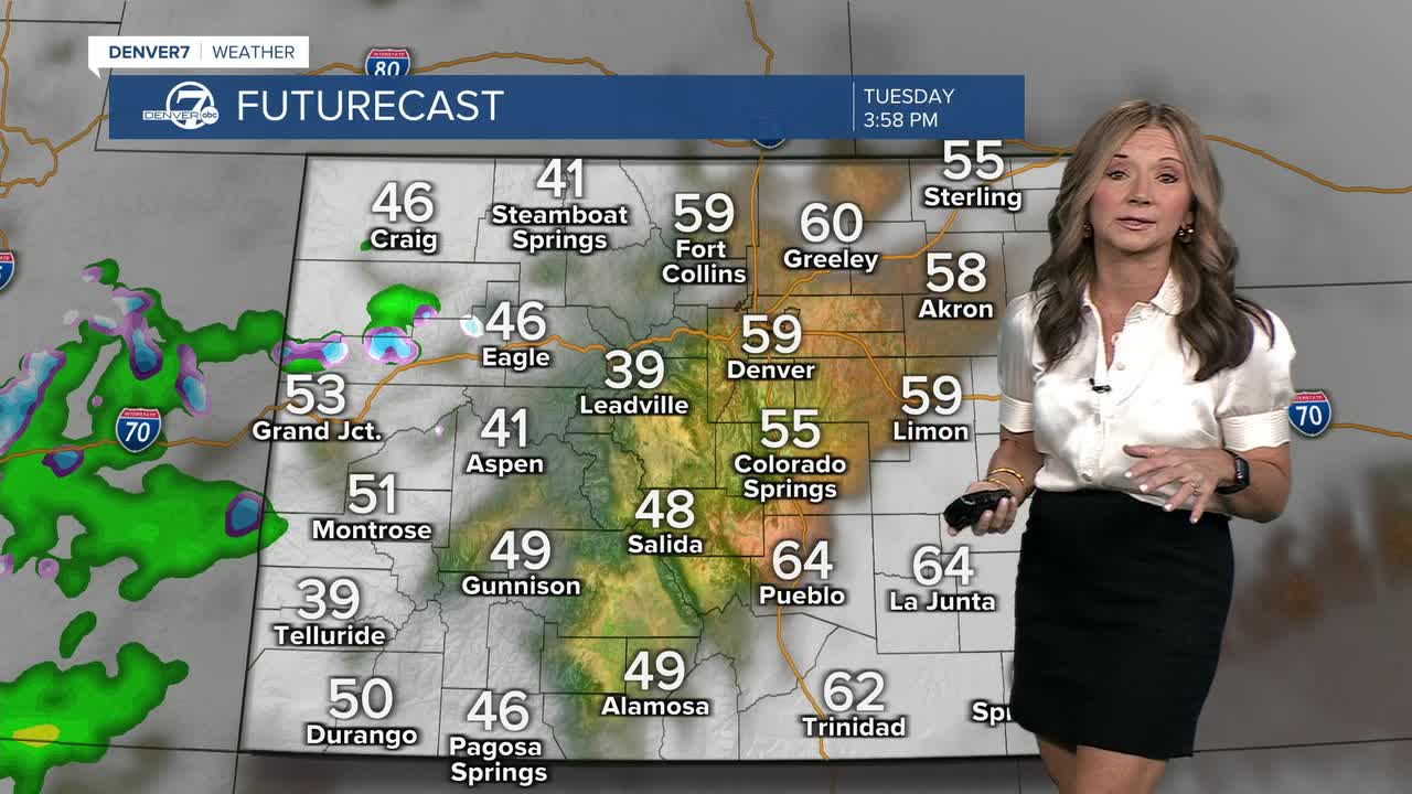
Before the storm arrives, temperatures will stay mild—about 5 to 8 degrees above average—on Tuesday and Wednesday, with highs in the low to mid-60s along the Front Range.
The National Weather Service is forecasting that the storm will move into the Front Range Thursday, bringing freezing temperatures, rain, and snow.
Denver will see mostly rain, but some snow could mix in late Thursday night into Friday morning. But the chances of accumulation in the Mile High City are about 20–30%.
But the higher elevations are another story.
The NWS says models show areas like the Palmer Divide have about a 60–70% chance of snow accumulation.
The system will begin to weaken on Friday and move east with cooler-than-normal highs expected both days due to clouds and precipitation.


Denver7 is committed to making a difference in our community by standing up for what's right, listening, lending a helping hand and following through on promises. See that work in action, in the videos above.


