


DENVER – While northeastern Colorado, including the Denver metro, will see another day of temperatures well above normal, a weather system will roll through the state starting Sunday bringing snow to the High Country and dropping temperatures for the week ahead for the Front Range.
Snow is expected to develop in the mountains starting Sunday evening with potential travel impacts in the Park Range and Rabbit Ears Pass where the National Weather Service (NWS) has issued a winter weather advisory starting at 8 p.m. Sunday.

The weather alert remains in effect until 5 p.m. Monday for the possibility of 3 to 8 inches of accumulations above 9,000 feet in West Jackson and West Grand Counties, said NWS forecasters.
Even higher accumulations are possible in elevations above 10,000 in these two counties.
“Snow covered roads will make travel hazardous, especially through mountain passes. Use caution when traveling,” wrote the NWS.
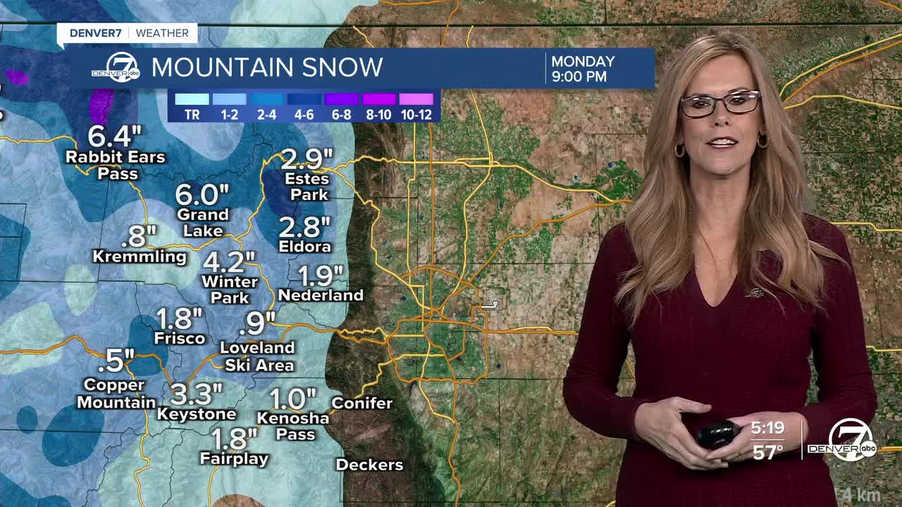
Here’s a look at possible snow totals from the NWS:
- Nederland: 0.5”
- Echo Lake: 0.5”
- Georgetown: 0.5”
- Loveland Pass: 2”
- East Portal: 1”
- Berthoud Pass: 1”
- Fraser: 1”
- Granby: 0.5”
- Grand Lake: 1”
- Muddy Pass: 3”
- Rabbit Ears Pass: 4”
- Willow Creek Pass: 2”
- Winter Park: 1”
- Cameron Pass: 7”
- Gould: 4”
- Mt. Zirkel: 6”
- Spicer: 1”
- Walden: 0.5”
- Bear Lake: 4”
- Milner Pass: 4”
- Red Feather Lakes: 0.5”
- Alma: 1”
- Fairplay: 0.5”
- Hoosier Pass: 3”
- Kenosha Pass: 0.5”
- Breckenridge: 1”
- Dillon 0.5”
- Frisco: 1”
- Keystone Ski Area: 1”
- Vail Pass: 1”
As for when Denver might see its first snowfall, there is a slight possibility we could see a few flakes later this week as another storm system is set to roll through Colorado by the middle of the week, potentially bringing accumulations to the High Country.
As of Sunday, weather models are struggling with the storm track, but Denver's best chance for snow, or a rain-mix would come later on Thursday.
"The potential storm system for the latter half of this upcoming week continues to cause headaches. Models generally struggle with cutoff lows in the medium range period, and given how many moving pieces there are to the synoptic pattern during this period, it seems like it would be exceptionally difficult to 'thread the needle' and find a storm track that would produce sufficient moisture/upslope and cold air to give any of our lower elevations a real taste of winter," wrote NWS Boulder forecasters.

After a stretch of temps well-above average, Denver’s afternoon highs will drop to mostly 50s and a few 40s over the next 7 days.
With snow looking somewhat unlikely this week, that would push this year’s first snowfall date to one of the latest Denver has ever seen.
Here are Denver’s latest first snowfall dates since 1882, from the NWS in Boulder.
- 12-10 (2021) 0.3”
- 11-21 (1934) 1.0”
- 11-19 (1931) 1.0”
- 11-17 (2016) 1.7”
- 11-16 (1894) 2.6”
DENVER WEATHER LINKS: Hourly forecast | Radars | Traffic | Weather Page | 24/7 Weather Stream
Click here to watch the Denver7 live weather stream.