


DENVER — Lather, rinse, repeat! We're expecting another mild, dry day across Colorado Wednesday ahead of big changes by the end of the week.
Tonight, a weak cold front is racing through the state, kicking up the winds across the Front Range foothills. It won't bring any rain or snow to Colorado, but slightly cooler temperatures mid-week.
Look for upper 40s to lower 50s around the Denver metro area Wednesday under a mostly sunny sky. Quiet weather is expected statewide.
Another weak cold front moves in Wednesday night into Thursday, helping to drop temperatures a bit more. It stays dry but daytime highs will be in the mid to upper 30s Thursday afternoon, about 10-degrees below-average for this time of the year.
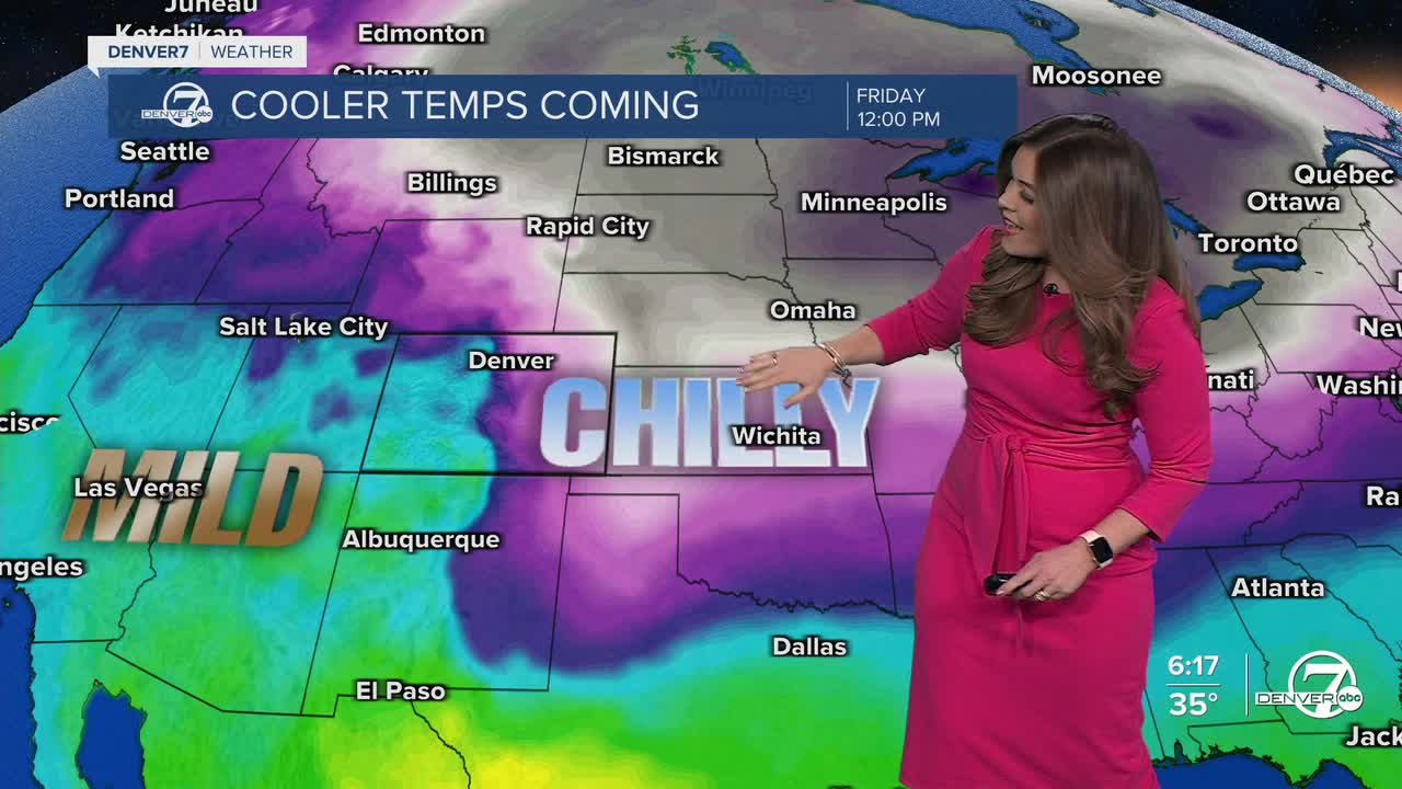
Frigid, arctic air impacting the Upper Midwest will start to seep into Eastern Colorado Friday. Highs will be in the mid 20s (at best) in the Denver metro area. A storm system from the southwest will move into the state as well, ushering in potentially heavy mountain snow and light snow showers along the Interstate 25 corridor. So far, models are showing less than 2 inches in the city Friday morning through early Saturday.
The cooler air could stick around for the weekend. Highs will struggle to make it into the low 30s Saturday with mid-30s on tap for the Broncos-Patriots game Sunday afternoon.
DENVER WEATHER LINKS: Hourly forecast | Radars | Traffic | Weather Page | 24/7 Weather Stream
Click here to watch the Denver7 live weather stream.
