


DENVER — Today will go down in the record books, Denver! Denver International Airport hit 71-degrees Tuesday afternoon, tying the previous record high of 71-degrees last set in 1995.
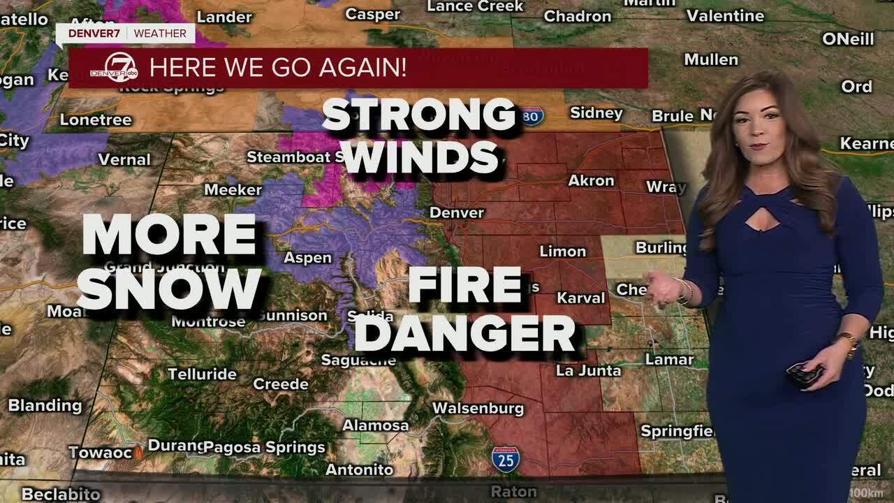
The mild temperatures, gusty winds and dry conditions stick around the Denver metro Wednesday while the mountains brace for heavy snow.
Tonight, we'll watch the next storm move into the state. Look for scattered snow showers to spread across the northern mountains first, and then move south toward the I-70 mountain corridor overnight. Meanwhile, Denver will be under mostly cloudy skies with very mild overnight lows in the lower 40s.
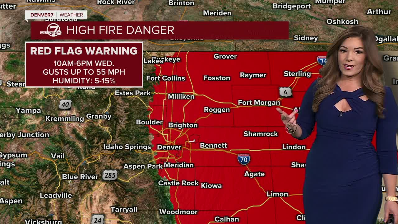
High fire danger continues to be top of mind with the recent bone dry conditions and above-average temperatures. A Red Flag Warning goes back into effect at 10am until 6pm Wednesday for gusty winds up to 55mph, warm 60+ degree temperatures and low humidity values between 5 and 10 percent.
A few isolated rain showers are possible across northeastern Colorado Wednesday evening but don't count on much accumulation.
If you're heading west into the mountains, it'll look and feel more like winter! A Winter Storm Warning and Advisory are in effect until midnight Wednesday. Rabbit Ears Pass could see 10 to 20 inches of new snow, while the northern Front Range mountains could pick up 8 to 16 inches. Area along I-70 will get about 4 to 8 inches of new snow.
As this storm moves out late Wednesday, sunny skies move in for the rest of the work week. Highs will stay above-average in the low to mid 60s to wind down the month of February. So far, it looks like March comes in like a lamb.
DENVER WEATHER LINKS: Hourly forecast | Radars | Traffic | Weather Page | 24/7 Weather Stream
Click here to watch the Denver7 live weather stream.
