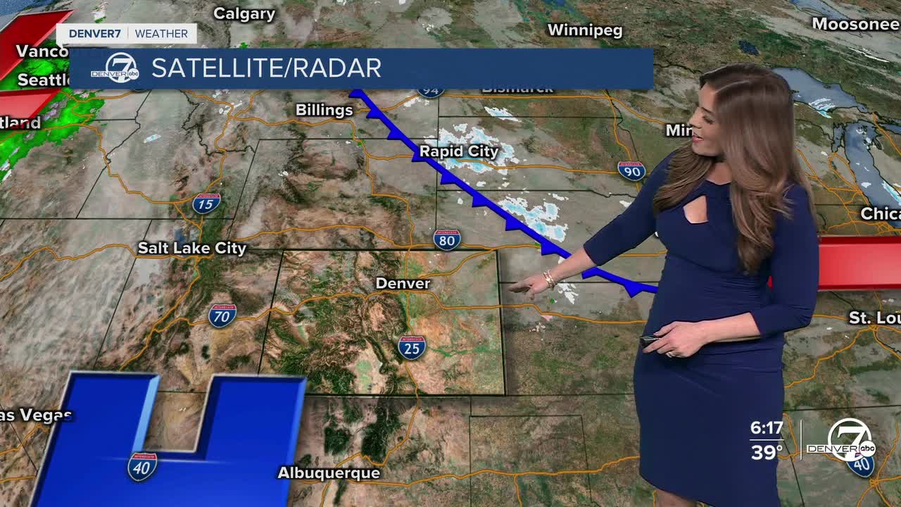


DENVER — There's a few lingering flurries across the northern mountains, otherwise it'll be dry in the Denver metro overnight. Temperatures will drop into the lower 20s by Friday morning.
A weak backdoor cold front moves into northeast Colorado Friday, bringing a chance of light snow showers to the plains near Sterling and Fort Morgan. The cooler air is shallow but could seep into the Denver area. Right now, it looks like we'll see highs in the mid to upper 40s under a mix of sun and clouds.
A ridge of high pressure builds back in for the weekend. This brings daytime highs into the mid to upper 50s as we head into February! Sunday will be the warmer of the two days, with highs near 60 degrees across the Front Range! Skies will stay mostly sunny statewide.
Another storm could potentially move into the Denver metro next Tuesday, bringing a chance for a few snow showers and slightly cooler temperatures. We'll keep a close eye on it as it gets closer!
DENVER WEATHER LINKS: Hourly forecast | Radars | Traffic | Weather Page | 24/7 Weather Stream
Click here to watch the Denver7 live weather stream.
