


DENVER — After several severe, hail-producing storms rumbled across the plains Monday afternoon, calmer conditions will move in overnight. Look for mostly clear skies with lows in the upper 50s to lower 60s along the Interstate 25 corridor and eastern plains.
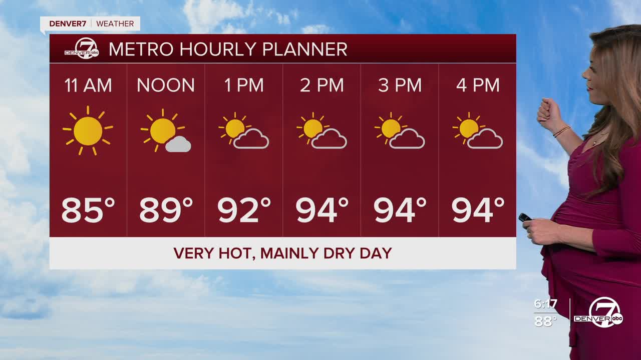
By Tuesday, things start to heat up. There’s still a slight chance for a gusty storm near the Cheyenne Ridge, but most places will stay dry. Daytime highs will be in the mid-90s under mostly sunny skies.
Wednesday looks to be the hottest day of the week, with Denver nearing 100 degrees. The record high on Wednesday is 100 degrees, so there's a good chance that we could tie or even break it! In fact, a Heat Advisory will go into effect for the Denver metro from 10am to 9pm Wednesday for the extreme heat.
A weak cold front moves through Thursday night and that will bring us a solid 10 to 15 degree cool down on Friday. We'll see highs in the low to mid 80s, with a few afternoon storms to round out the week.
A few storms will linger into the start of the weekend, with warmer and drier weather on tap early next week.
DENVER WEATHER LINKS: Hourly forecast | Radars | Traffic | Weather Page | 24/7 Weather Stream
Click here to watch the Denver7 live weather stream.
