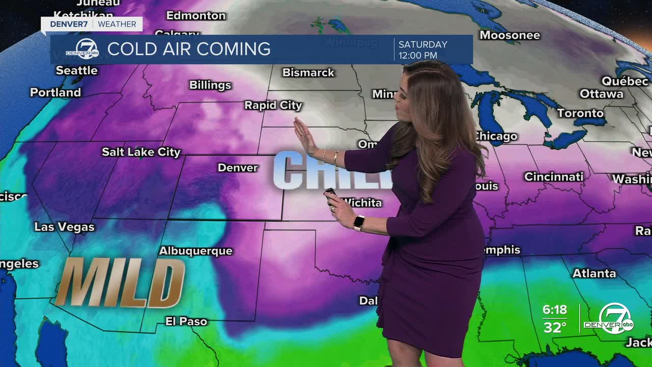


DENVER — It'll be a chilly, snow end to the work week as arctic air invades much of Eastern Colorado. A storm system set to impact nearly half the country will usher in heavy mountain snow to the state starting Friday.
Look for partly cloudy skies overnight as a weak cold front drops into the state, allowing cooler air to filter into the region. Lows will drop into the teens early Thursday morning.
We're in for a bit of a transition day Thursday with partly sunny skies and slightly below-average temperatures. Highs will only climb into the 30s during the afternoon, setting the stage for a much bigger change Friday.
A strong blast of arctic air races into eastern Colorado Friday, dropping daytime highs into the teens to end the work week. There is a chance of wind chills dropping below -15 degrees in some areas east of Interstate 25.
Meanwhile, a storm system moving across the southwest will impact Colorado starting Friday morning. Heavy snow is possible in the High Country as Winter Weather Advisories go into effect starting at 5am Friday. We'll see overall about 6 to 12 inches of new snow across parts of the central and southern mountains as that advisory lasts until 5am Sunday.
Look for light snow in the Denver metro area starting Friday evening lingering into early Saturday. Snow amounts generally look light, with under two inches expected. Even small amounts of snow, combined with the bitter cold, can create slick roads and tough traveling conditions.
The cold and snow stick around for the start of the weekend. Temperatures will sit in the teens again on Saturday afternoon as skies gradually clear. So far, it looks like Denver will see highs in the mid to upper 20s Sunday for the Broncos-Patriots game.
More seasonal and quieter weather return early next week.
DENVER WEATHER LINKS: Hourly forecast | Radars | Traffic | Weather Page | 24/7 Weather Stream
Click here to watch the Denver7 live weather stream.
