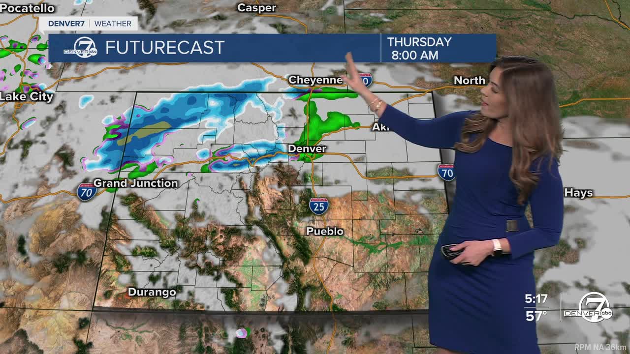


DENVER — It's a tale of two sides of the Rocky Mountains! Heavy snow will continue to move across the High Country overnight while much of Eastern Colorado will see light rain showers and mild temperatures Thursday.
Heads up if you're traveling into the mountains Thursday! A Winter Storm Warning is in effect for the Park and Elkhead Mountains along with Rabbit Ears Pass until noon Thursday. Those areas could see 10 to 20 inches of snow, with possibly more on the higher peaks.
A Winter Weather Advisory is in effect for the Front Range mountains and central mountains along Interstate 70 until noon Thursday. So far, it looks like those spots could pick up about 4 to 10 inches of new snow.
If you're in the Denver metro area, look for above-average highs in the mid to upper 50s along the I-25 corridor Thursday and Friday. Off-and-on rain showers are possible both days but it doesn't look like much will fall.
As this storm moves out, the warm and dry weather pattern returns for President's Day weekend. We'll see upper 50s Saturday, low 60s Sunday and mid 60s Monday under partly sunny skies.
Another round of mountain snow moves in next Tuesday. So far, it looks like Denver will get some blustery winds with little to no precipitation.
DENVER WEATHER LINKS: Hourly forecast | Radars | Traffic | Weather Page | 24/7 Weather Stream
Click here to watch the Denver7 live weather stream.
