


DENVER — Here we go again! After a gorgeous 70+ degree day along the Front Range, another storm system is moving into the state this evening. It's ushering in more rain and heavy snow to the northern and central mountains tonight into Friday.
In fact, a Winter Weather Advisory is in effect until 3am Friday for the Park, Elkheads and Flattops for 6 to 12 inches of new snow. 50+ mph winds will limit visibility and could cause tricky traveling conditions into Friday.
Look for a few clouds across the Denver metro area tonight as temperatures fall into the low to mid 30s. A cold front will race across the region overnight, dropping daytime highs quite a bit for the end of the work week.
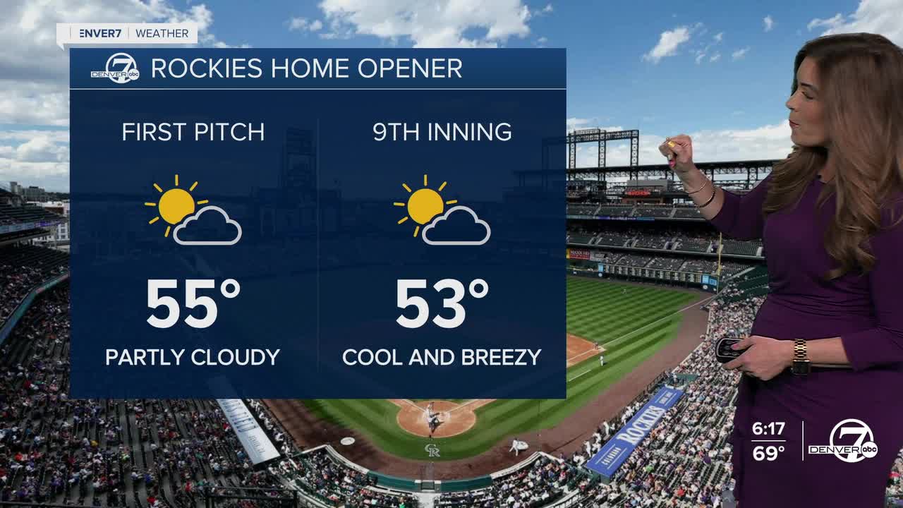
It will be cool and breezy for the Rockies Home Opener at Coors Field Friday. We'll see mostly sunny skies, with highs in the mid to upper 50s by first pitch.
Warmer, drier weather moves in for Easter weekend. We'll see highs near 70 degrees on Easter Sunday under mostly sunny skies!
The warm, dry weather sticks around through the middle of next week. So far, it looks like another storm will move into the Denver metro next Thursday, bringing some much-needed rain to the region.
DENVER WEATHER LINKS: Hourly forecast | Radars | Traffic | Weather Page | 24/7 Weather Stream
Click here to watch the Denver7 live weather stream.
