


DENVER — Finally...some much needed rain around here! Scattered showers will continue to move across the the Front Range this evening. The rain will briefly switch over to snow along the Palmer Divide and in the foothills, so you may see some slushy conditions tonight into early Wednesday morning.
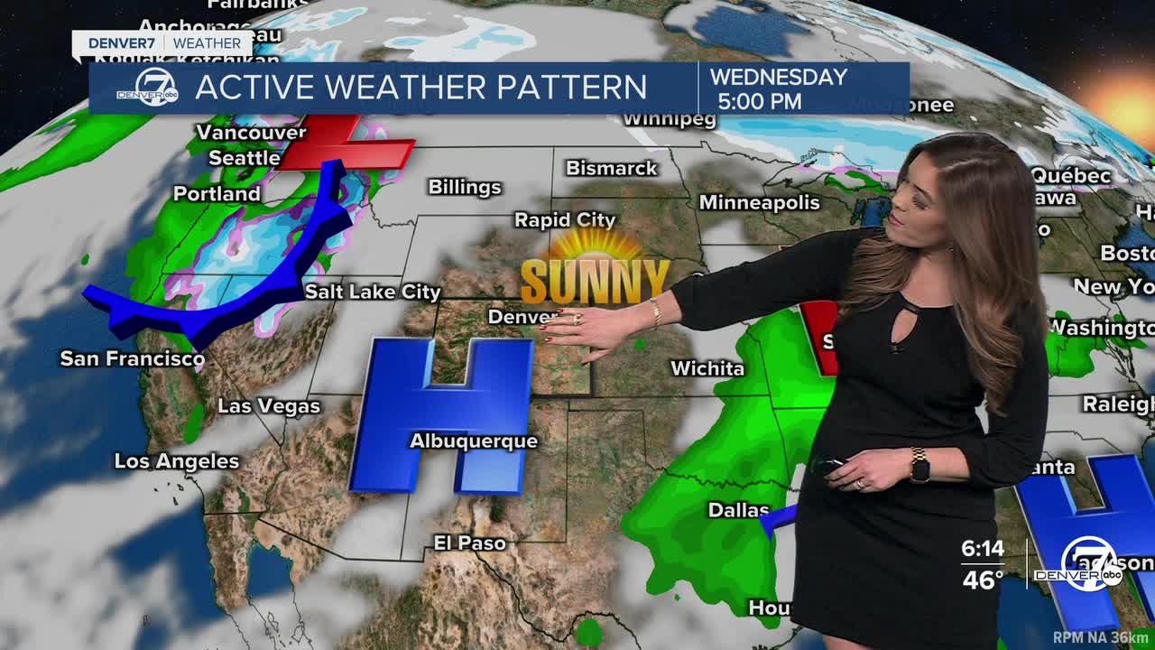
Skies will quickly clear out on Wednesday and we'll see plenty of sunshine statewide. Another ridge of high pressure builds back into the state and temperatures will jump back into the 60s. The Denver metro will be close to 70 degrees again on Thursday!
Fire danger returns along with the March heat. A Fire Weather Watch is in effect from noon to 6pm Thursday for areas south of I-70 for 45mph wind gusts, 10 to 15 percent humidity values and unseasonably warm temperatures.
Late Thursday night, a more powerful winter storm will swing into Colorado ushering in heavy mountain snow and a bit of a rain/snow mix to the Interstate 25 corridor and plains. It's still a few days out, but measurable snow in the Denver metro is looking increasingly more likely. Stay tuned for potential snowfall amounts as the system gets closer!
Warmer, drier and sunnier weather returns for the weekend.
DENVER WEATHER LINKS: Hourly forecast | Radars | Traffic | Weather Page | 24/7 Weather Stream
Click here to watch the Denver7 live weather stream.
