


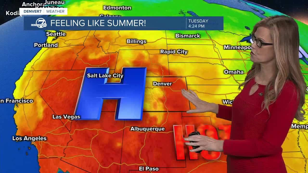


DENVER — Severe storms are expected to fire up in northeastern Colorado this afteroon, bringing possible isolated flooding, high wind gusts and large hail.
While the main severe storm threat is across Colorado's plains, strong storms could still roll through the mountains and across the Front Range throughout the evening hours.
- Seeing severe weather in your community? Send us a photo or video at newstips@denver7.com.
Denver7 is tracking the latest on these showers and storms, as well as any watches and warnings, in our live weather blog below.
LINKS: Latest forecast | Radars | Traffic | Weather Page | 24/7 Weather Stream
Saturday, August 22
5:50 p.m. | Stacey Donaldson's latest forecast | Storms and heat again return to northeastern Colorado for Sunday. Watch Denver7 meteorologist Stacey Donaldson's updated forecast for the rest of the weekend, in the video player below.
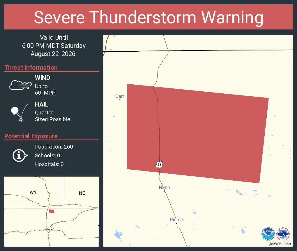
5:17 p.m. | Severe thunderstorm warning | NW Weld County is under. severe t-storm warning until 6:00 p.m. 60 mph wind gusts and quarter-sized hail are possible for a storm 6 miles SE of Rockport.
5:14 p.m. | Flood advisory in Weld County | SW portions of the county are under the flood advisory until 8:15 p.m. impacting Fort Lupton, Lochbuie and Wattenburg,
according to the NWS.
5:11p.m. | Severe storm near Firestone, Frederick| Quarter-sized hail is possible in a storm, prompting a warning until 5:45 p.m. for SW Weld County.
5:02 p.m. | 60 mph winds | Portions of Logan, Morgan and Weld Counties are under a severe thunderstorm warning until 5:45 p.m. as a cell SW of New Raymer shows radar-indicated 60 mph wind gusts and quarter-sized hail.
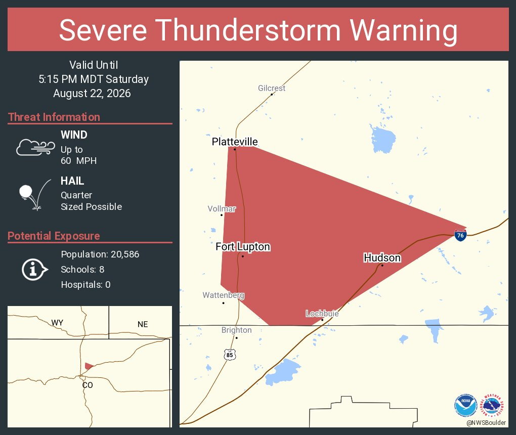
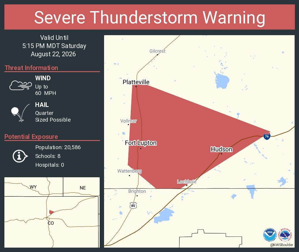
4:46 p.m. | Severe thunderstorm warning | 60 mph winds and golf ball-sized hail is possible in a storm near Fort Lupton. The cell is moving NE at 25 mph winds and the warning is in effect until 5:15 p.m.
4:35 p.m. | Golf ball-sized hail possible | NW Morgan and SE Weld Counties remain under a severe thunderstorm warning until 5 p.m. for a cell near Goodrich. 70 mph winds are also possible.
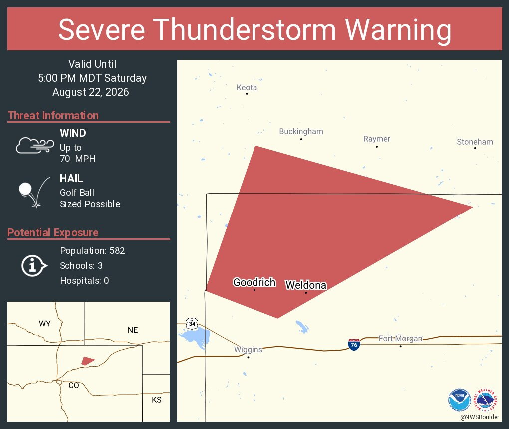
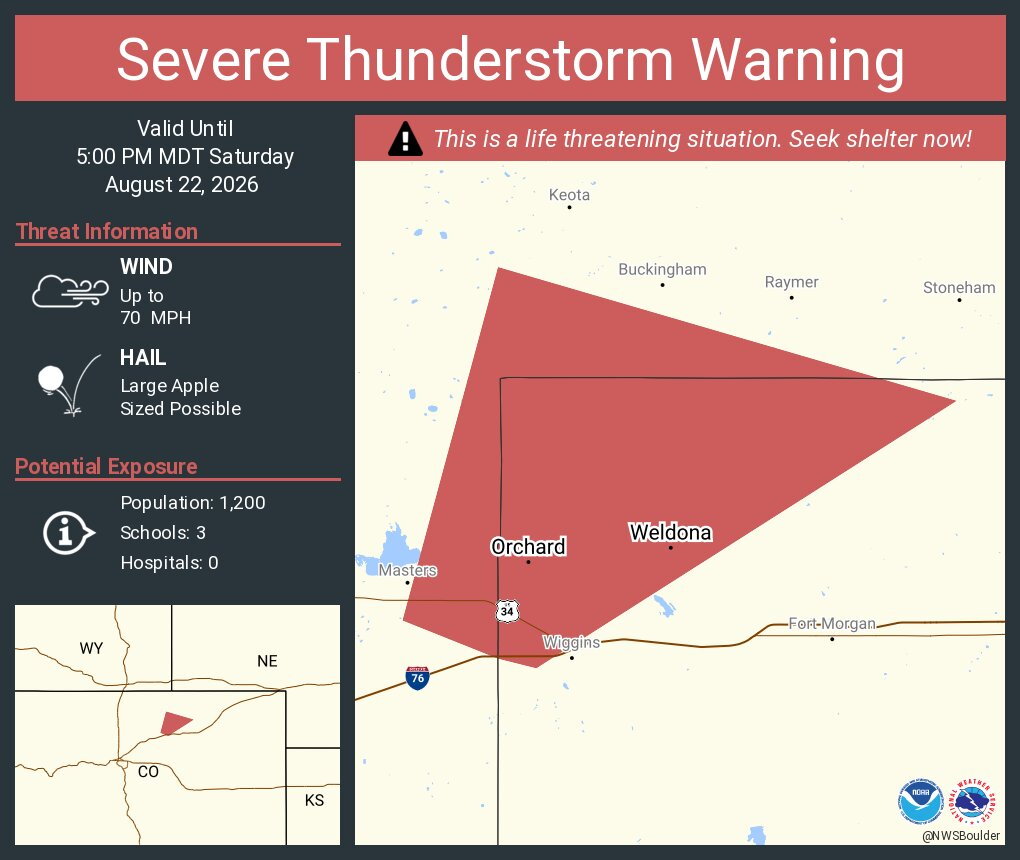
4:16 p.m. | Apple ball-sized hail possible | The NWS in Boulder warns of a 'destructive storm' which could drop apple sized-hail and 70-mph wind gusts. This warning is in effect unil 5 p.m. and covers NW Morgan and East Central Weld Counties.
Be alert to this storm near Weldona, Orchard CO and Goodrich CO.
Here's the latest radar image, which you can check live here.
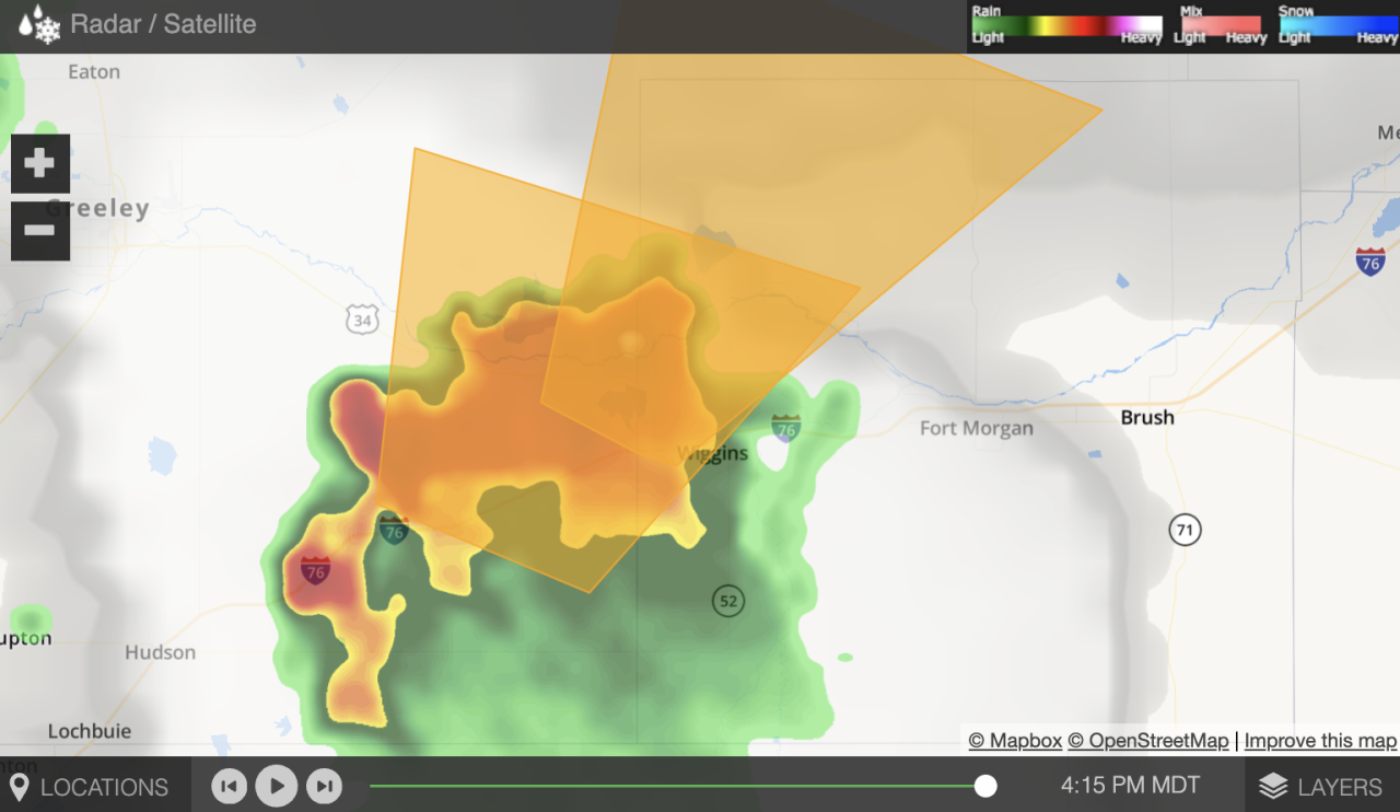
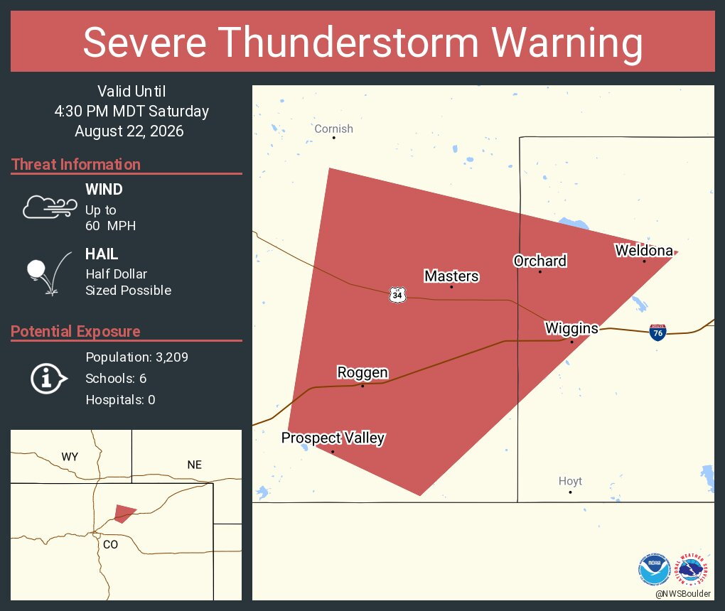
3:50 p.m. | Golf ball-sized hail possible | The NWS warned a cell near Wiggins, Weldona and Orchard could have 70 mph wind gusts and large hail. The storm is moving northeast at 25 mph. The severe thunderstorm warning is in effect until 4:30 p.m. for west central Morgan and south central Weld Counties.
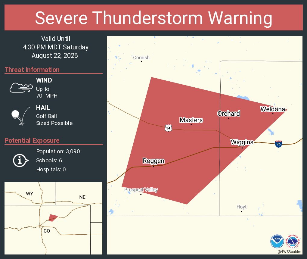
3:42 p.m. | New severe t-storm warning | West central Morgan and south central Weld Counties are under a severe thunderstorm warning until 4:30 p.m. where a cell near Roggen could drop half dollar-sized hail and 60 mph wind gusts.
3:30 p.m. | Flood advisory | Portions of Jefferson, Arapahoe and Douglas Counties are under a flood advisory until 6:30 p.m. where storms have produced up to 1.5" of rain. Areas of Highlands Ranch, Littleton and Chatfield Reservoir are impacted. Read the alert from the NWS.
3:25 p.m. | Ground stop at DIA | Departures at Denver International Airport are grounded due to thunderstorms until 4 p.m. Departure delays are averaging about 50 mins.
3:10 p.m. | Severe t-storm warning for Weld, Adams Counties | That cell near Manilla Village remains under a severe t-storm warning until 3:30 p.m., where 60 mph wind gusts and small hail are possible.
2:50 p.m. | Severe t-storm warning for Adams, Arapahoe Counties | Quarter-sized hail and 60 mph wind gusts are possible in a cell near Manilla Village. The storm is moving NE at 20 mph, according to the NWS. The warning is in effect until 3:15 p.m.
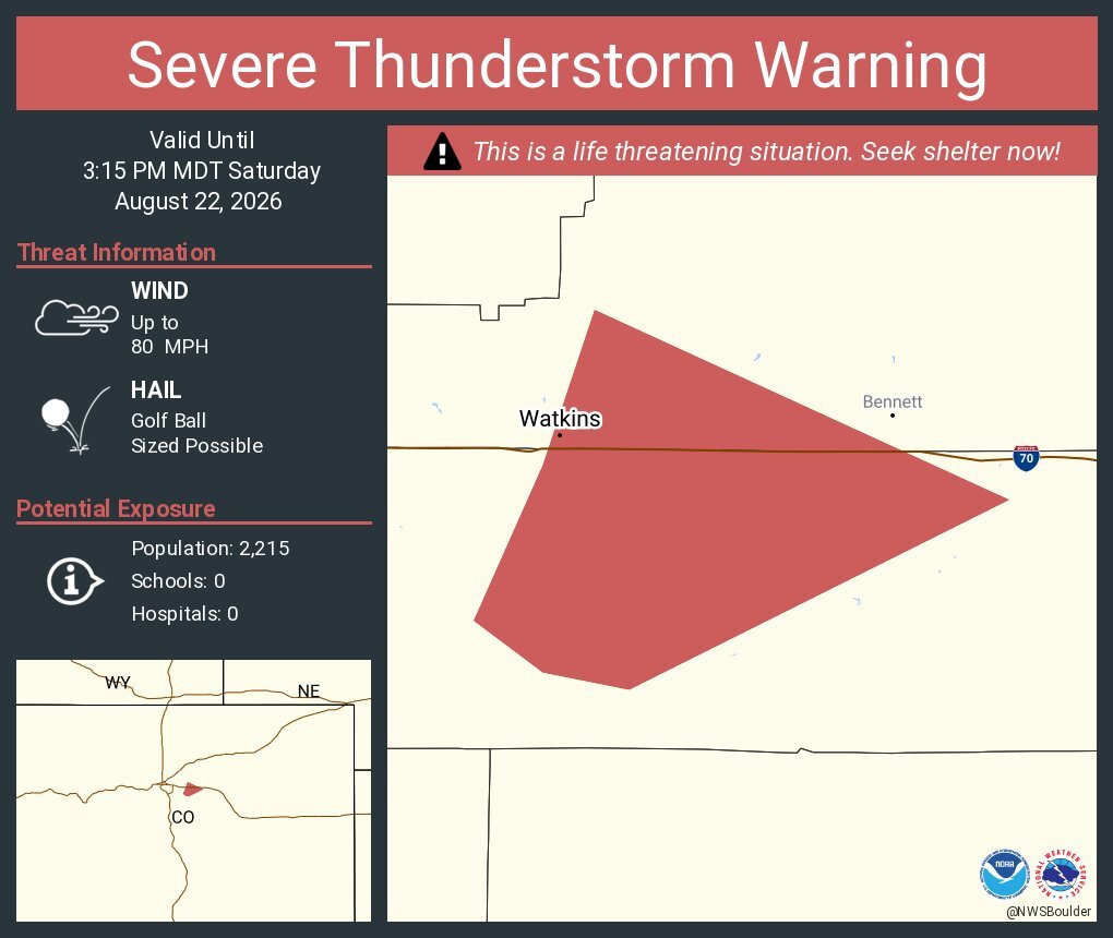
2:45 p.m. | 'Destructive storm' near Watkins | The NWS warned that a storm near Watkins "will contain wind gusts to 80 MPH" as the warning continues for the area until 3:15 p.m.
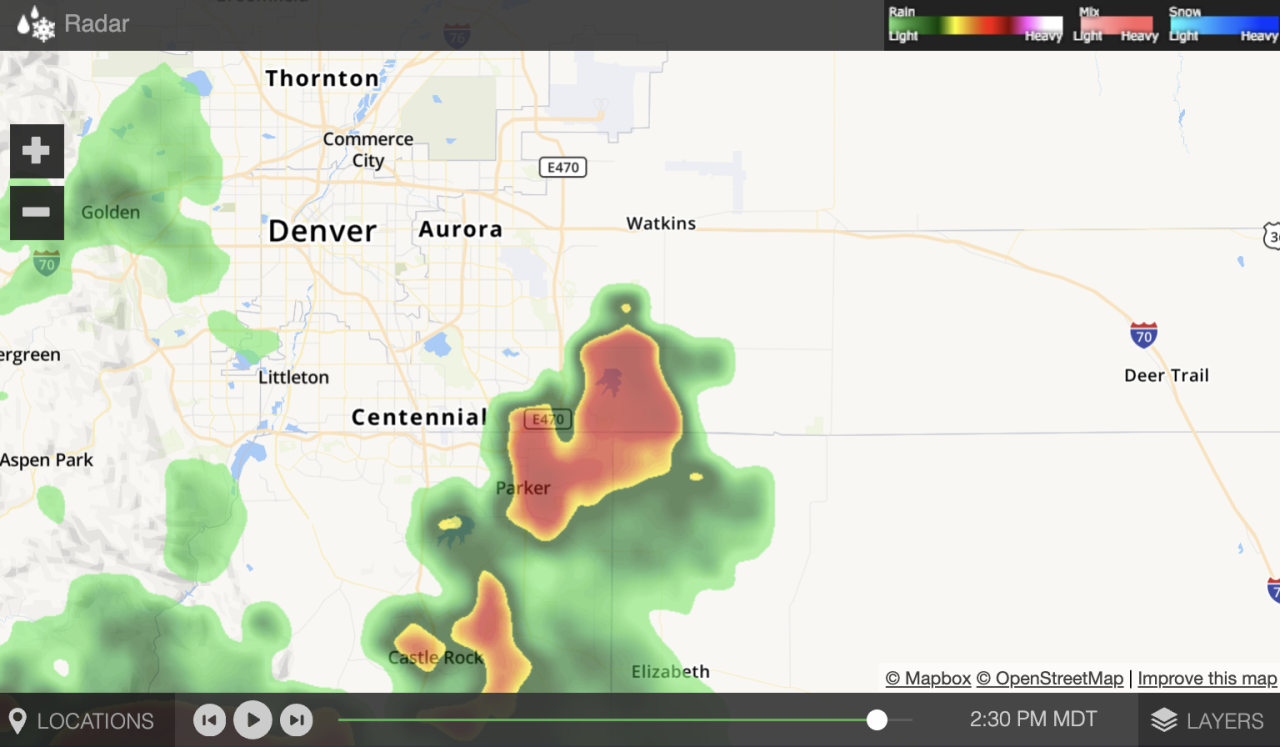
Here's a view from Denver7's interactive weather radar, which you can find here.
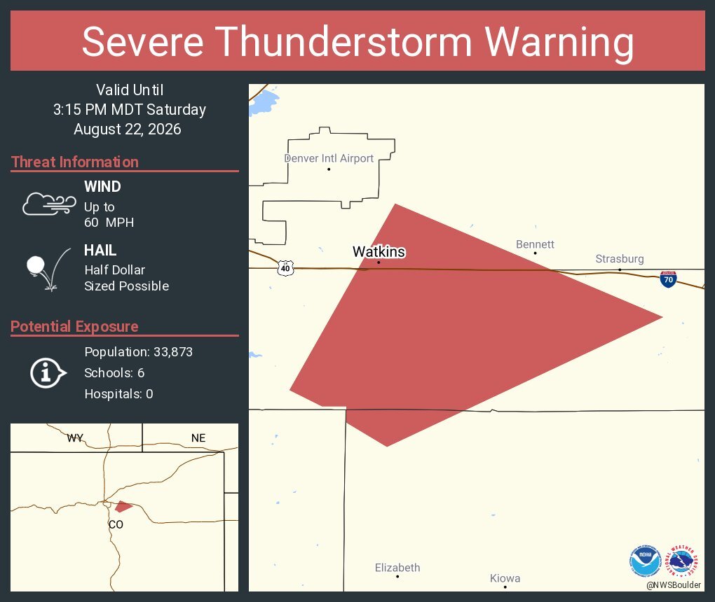
2:35 p.m. | Severe thunderstorm warning | 60 mph wind and half dollar-sized hail is possible in a severe storm 5 miles SE of Arapahoe Park, according to the NWS.
Here's more on the counties under the warning, which is in effect until 3:15 p.m.
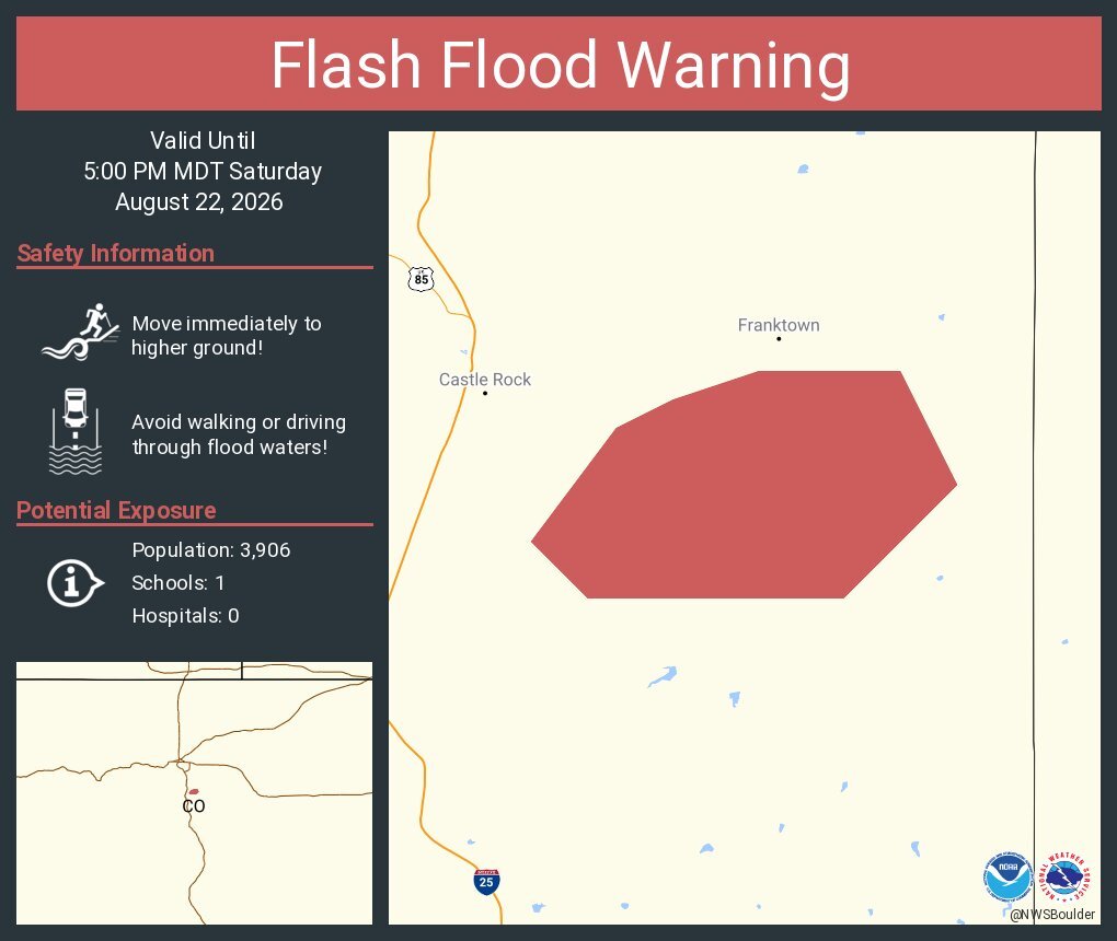
2:22 p.m. | Flood warning | East Central Douglas County is under a flash flood warning until 5 p.m., according to the National Weather Service (NWS) in Boulder. The NWS said between 1 and 2.5" of rain has already fallen, according to this alert.
1:30 p.m. | Forecast | Denver7 chief meteorologist Lisa Hidalgo said high temps will reach the low 90s, and as monsoon moisture returns to Colorado, there is a marginal risk of severe storms across Colorado’s Front Range.
▶️Check her timeline and storm risk forecast, in the video player below.