


DENVER — It's the warm before the next storm! Denver hit 70-degrees this afternoon, just shy of the record high of 74-degrees, last set in 2022.
Big changes move into the state overnight! Look for scattered snow showers across the northern and central mountains. We'll see partly cloudy skies in the Denver metro with lows dipping into the mid to upper 30s.
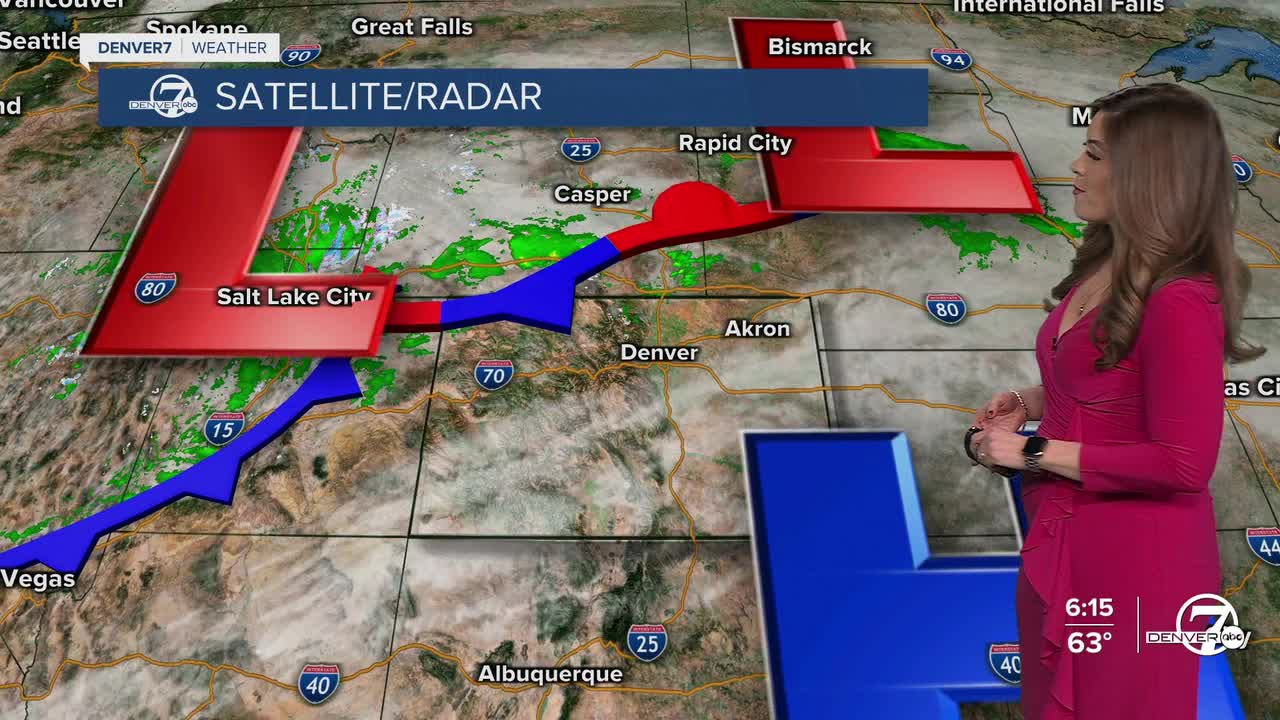
A cold front moves into the Front Range Tuesday morning, dropping daytime highs a solid 20-degrees from Monday! We'll sit in the upper 40s Tuesday afternoon under mostly cloudy skies and scattered thundershowers. The snow lingers throughout the day in the High Country, but we don't have any travel alerts in effect as it looks like they'll see only a few inches of accumulation. Even with that, there could be periods of heavier snow that create slick, snow-packed roads and difficult traveling conditions Tuesday.
Another ridge of high pressure builds back into the state mid-week as temperatures jump back into the 60s. The Denver metro will be close to 70-degrees again on Thursday!
Late Thursday night, a more powerful winter storm will swing into Colorado ushering in heavy mountain snow and a bit of a rain/snow mix to the Interstate 25 corridor and plains. It's still a few days out, but snowfall amounts currently look minimal in the Denver metro. Stay tuned as the system gets closer!
Warmer, drier and sunnier weather returns for the weekend.
DENVER WEATHER LINKS: Hourly forecast | Radars | Traffic | Weather Page | 24/7 Weather Stream
Click here to watch the Denver7 live weather stream.
