


DENVER — A powerful downslope wind event brought widespread damaging winds to the Front Range and foothills on Tuesday.
Wind gusts between 75 and 90 mph were reported from the foothills into parts of the Urban Corridor.
The National Weather Service issued a high wind warning for Boulder, Fort Collins, the western Denver suburbs, and northern Weld County that is expected to end at midnight.
Some of the strongest reports included Tuesday:
- 90 mph at Tolland, west of Rollinsville.
- 87 mph near Jefferson
- 87 mph at Crisman
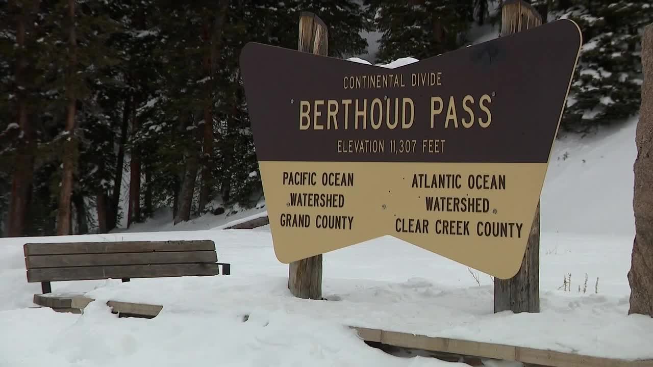
- 85 mph at Berthoud Pass
- 83 mph at Pinecliffe and Virginia Dale

These winds are driven by strong pressure gradients, creating ideal conditions for destructive downslope winds along east-facing slopes.
Winds are expected to calm from late Tuesday night to Wednesday morning for a brief period. We are also watching for another potential high wind event on Wednesday afternoon into Thursday morning.
Strong cross-barrier flow and tightening pressure gradients could bring gusts up to 70 mph again along the Front Range mountains and foothills.
Temperatures on the plains will stay well above normal through Thursday, boosted by continued downslope warming.

DENVER WEATHER LINKS: Hourly forecast | Radars | Traffic | Weather Page | 24/7 Weather Stream
Click here to watch the Denver7 live weather stream.
