


DENVER — It was a close one! Denver hit 81-degrees this afternoon, just one-degree shy of the record high temperature of 82-degrees last set in 2010. This was the 8th time the city hit 80+ degrees this month. Typically, we don't see the first 80-degree reading until late April!
If you're ready for cooler, spring weather, it's finally on the way. Look for a cold front to slide across Colorado this evening, helping to drop temperatures quite a bit for the next couple of days.

We're in for mostly cloudy skies overnight as lows dip into the upper 30s to low 40s across the Urban Corridor.
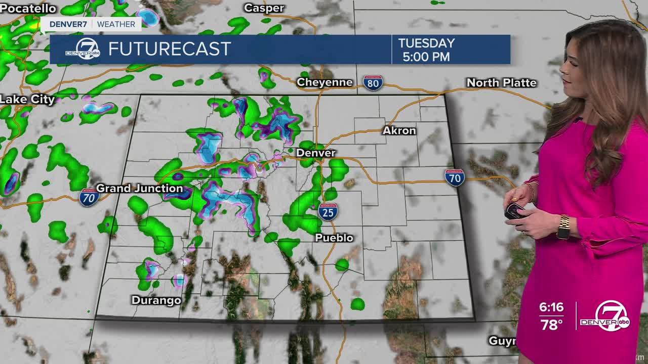
A storm moves into the mountains mid-morning Tuesday, ushering heavy snow and blustery winds. It'll bring mostly cloudy skies to the Denver area with light rain showers in the early evening. Daytime highs will hold in the mid to upper 50s along the Interstate 25 corridor.
Meanwhile, a Winter Weather Advisory will go into effect Tuesday at 6pm and continue until 9pm Wednesday for much of Colorado's High Country. It'll finally feel and look more like winter across the Rockies as mountain towns brace for 6 to 12 inches of much-needed snow.

The Denver metro area will see more widespread rain on Wednesday as highs peak in the mid 50s under mostly cloudy skies.
We'll get a brief break from the wet weather Thursday as a fast moving ridge builds into the state in between storms. Look for highs in the lower 70s with mostly sunny skies across the Denver metro.
Another system dives into the state early Friday morning, bringing another round of heavy snow to the mountains. It'll drop temperatures into the 50s again in Denver with some scattered rain and possibly snow showers mixing in Friday evening. Stay tuned for the timing, as it could be a soggy end to the Rockies Home Opener.
Skies will clear Saturday with mostly sunny skies and highs in the upper 50s. So far, we're expecting warmer, drier weather for Easter Sunday along the Front Range.
DENVER WEATHER LINKS: Hourly forecast | Radars | Traffic | Weather Page | 24/7 Weather Stream
Click here to watch the Denver7 live weather stream.
