


DENVER — Winter returned to Colorado overnight Saturday, just days before near 90-degree temperatures are expected to arrive in the Mile High City.
Most of the metro area picked up 2-3 inches of much-needed snow as a strong cold front moved in, producing a brief burst of snow.
Meanwhile, the Palmer Divide area saw a stronger impact, with 3-5 inches of fresh snow in some locations.
As a result, a winter weather advisory is now in effect for the Palmer Divide.
In addition to the metro and Palmer Divide areas, mountain areas experienced intense snow squalls with whiteout conditions.
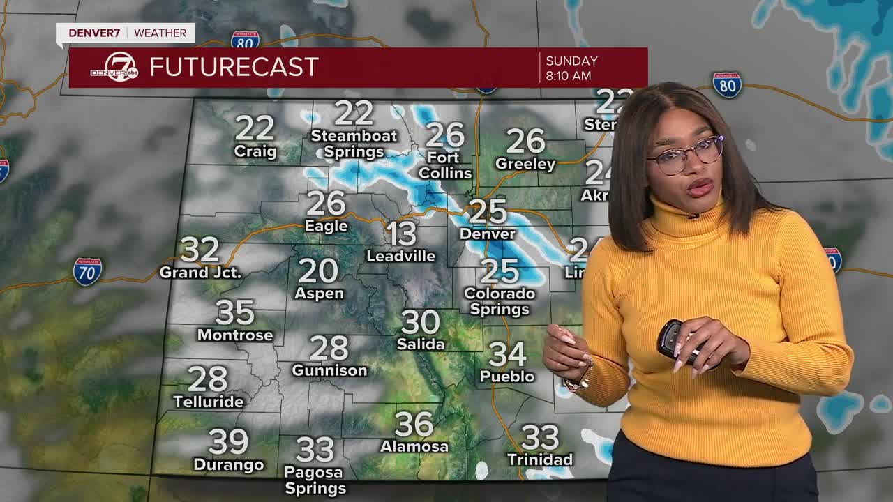
By 7 a.m., snowfall had ended across Denver and the Front Range, leaving cloudy skies and cold temperatures.
Even as snow tapers off, very strong winds will continue on the plains through midday, gusting 50–55 mph, possibly higher near the I‑70 corridor, before easing this afternoon.
Looking ahead, a steady warming and drying trend will take hold, with near-90-degree temperatures expected later in the week.
Here are the latest snow totals reported to the National Weather Service as of Sunday morning. Scroll down for 24-hour snow reports from Colorado ski resorts.
3 SSW Castle Pines, CO 3.9
4 ESE Foxfield, CO 3.7
3 E Monument, CO 3.7
4 NE Nederland, CO 3.5
3 WSW Aurora, CO 3.2
2 W Lone Tree, CO 3
Woodland Park, CO 3
1 NNE Edgewater, CO 2.7
2 NNW Sheridan, CO 2.5
2 SE Buffalo Creek, CO 2.5
5 S Manila Village, CO 2.3
4 WSW Arvada, CO 2.2
1 W Wheat Ridge, CO 2.1
5 SSE Air Force Academy, CO 2.1
1 NE Littleton, CO 2
3 NNW Sheridan, CO 2
2 N Black Forest, CO 2
3 NW Columbine, CO 1.9
3 W Westminster, CO 1.8
2 ESE Lakewood, CO 1.8
2 NE Cherry Hills Villa, CO 1.5
4 ENE Cedar Point, CO 1.5
2 ENE Vail, CO 1.2
1 WSW Aurora, CO 1.2
1 WNW Boulder, CO 1
2 W Vail, CO 1
1 SSW Denver Intl Airpo, CO 0.9
2 N Lyons, CO 0.5
Hugo, CO 0.5
2 N Longmont, CO 0.4
1 SSW Fort Collins, CO 0.1
3 SSE Laporte, CO 0.1
COLORADO SKI AREA SNOW REPORTS
A-Basin
https://www.arapahoebasin.com/snow-report/
Copper Mountain
https://www.coppercolorado.com/the-mountain/conditions-weather/snow-report
Eldora
https://www.eldora.com/the-mountain/conditions-weather/current-conditions-forecast
Keystone
https://www.keystoneresort.com/the-mountain/mountain-conditions/snow-and-weather-report.aspx
Loveland Ski Area
https://skiloveland.com/snow-report
Purgatory
https://www.purgatory.ski/mountain/weather-conditions-webcams/
Steamboat
https://www.steamboat.com/the-mountain/mountain-report
Winter Park
https://www.winterparkresort.com/the-mountain/mountain-report
Wolf Creek Ski Area
wolfcreekski.com/wcs-snow-report/
To view the Denver snowfall statistics infographics in fullscreen mode click this link.
DENVER WEATHER LINKS: Hourly forecast | Radars | Traffic | Weather page | 24/7 weather stream | NWS snowfall reports | COCORAHS snow reports | Colorado avalanche info center | Sunset, sunrise times | NWS monthly records, averages | NWS Denver weather history |
Click here to watch the Denver7 live weather stream.