


DENVER — The bitter cold Arctic air from late last week has been replaced by a milder air mass flowing in from the Pacific.
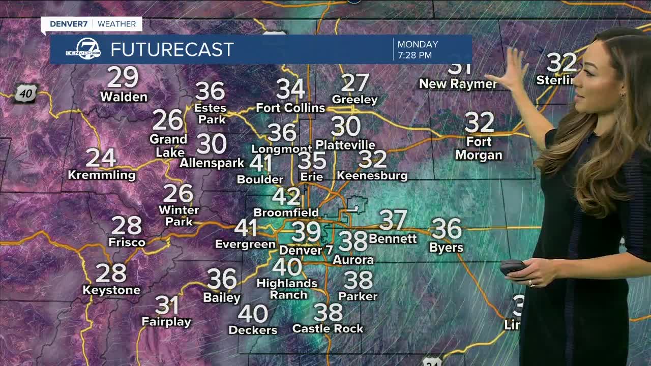
Expect some high clouds tonight and Tuesday, but temperatures will not be cold. Lows will stay in the low to mid 30s for Denver and in the 20s in the mountains.
Tuesday will be windy, warm and dry for Denver and the eastern plains, with highs around 60 degrees. Winds will be gusty and strong at times from the west — a high wind watch has been posted for the foothills.
A strong storm system will move into Colorado late Tuesday with snow developing in the mountains and becoming heavy on Wednesday. This storm should drop 12-18 inches of snow in the mountains through early Thursday.
Wednesday will be a little cooler in the Denver metro area and a few rain showers are possible across the plains late on Wednesday. The highs will be in the low 50s for the metro area and eastern plains.
On Wednesday night and early Thursday there will likely be a burst of snow along the I-25 Corridor. At present, the most likely snowfall amounts are in the 1 to 3 inches range through Thursday morning.
Skies will clear on Thursday with highs back in the 30s. Friday will be cool and dry with highs in the 40s. Clouds will increase on Saturday with more snow developing in the mountains.
New Years Day will be colder with more mountain snow and a chance for flurries in Denver and across the eastern plains.
Click here to watch the Denver7 live weather stream.
