


DENVER — Colorado's first significant snowstorm of the season brought 5-10 inches of snow to the Front Range mountains, mostly above 10,000 feet.
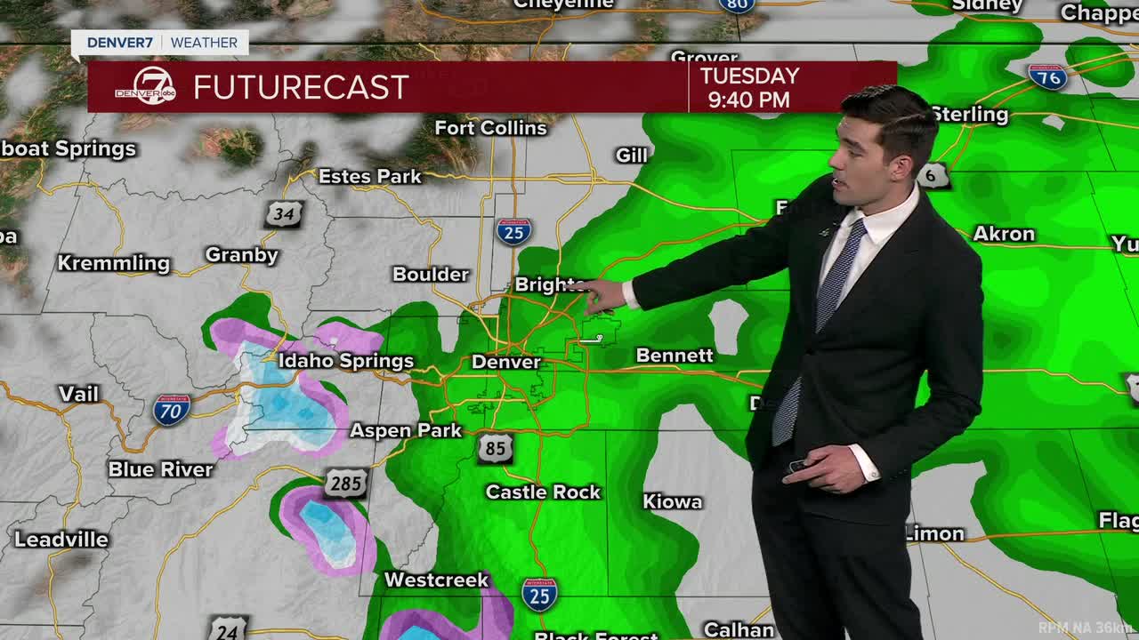
The Denver metro and Eastern Plains, meanwhile, saw steady rain, cloudy skies and steady temperatures in the 50s through the day on Tuesday, with many spots picking up more than an inch of rain.
Slick roads and falling temperatures in the mountains could make for icy conditions. Drivers should be extra aware.

Most rain and snow will clear out overnight into the early morning hours on Wednesday, which will mark a pattern shift. As we dry out, Wednesday's high temperatures will warm into the upper-60s to around 70 across the metro with sunny skies.
The rest of this week looks mostly dry, with a warming trend taking temperatures to the upper-70s and low-80s by late this week into this weekend. Another system is expected to bring chances for light rain late this weekend into early next week.
DENVER WEATHER LINKS: Hourly forecast | Radars | Traffic | Weather Page | 24/7 Weather Stream
Click here to watch the Denver7 live weather stream.
