


DENVER – After the 2nd warmest December on record, we'll carry that warmth into the first few days of 2026. Expect highs around 60 on Friday with morning sunshine and some afternoon overcast. The normal high is 44 degrees.

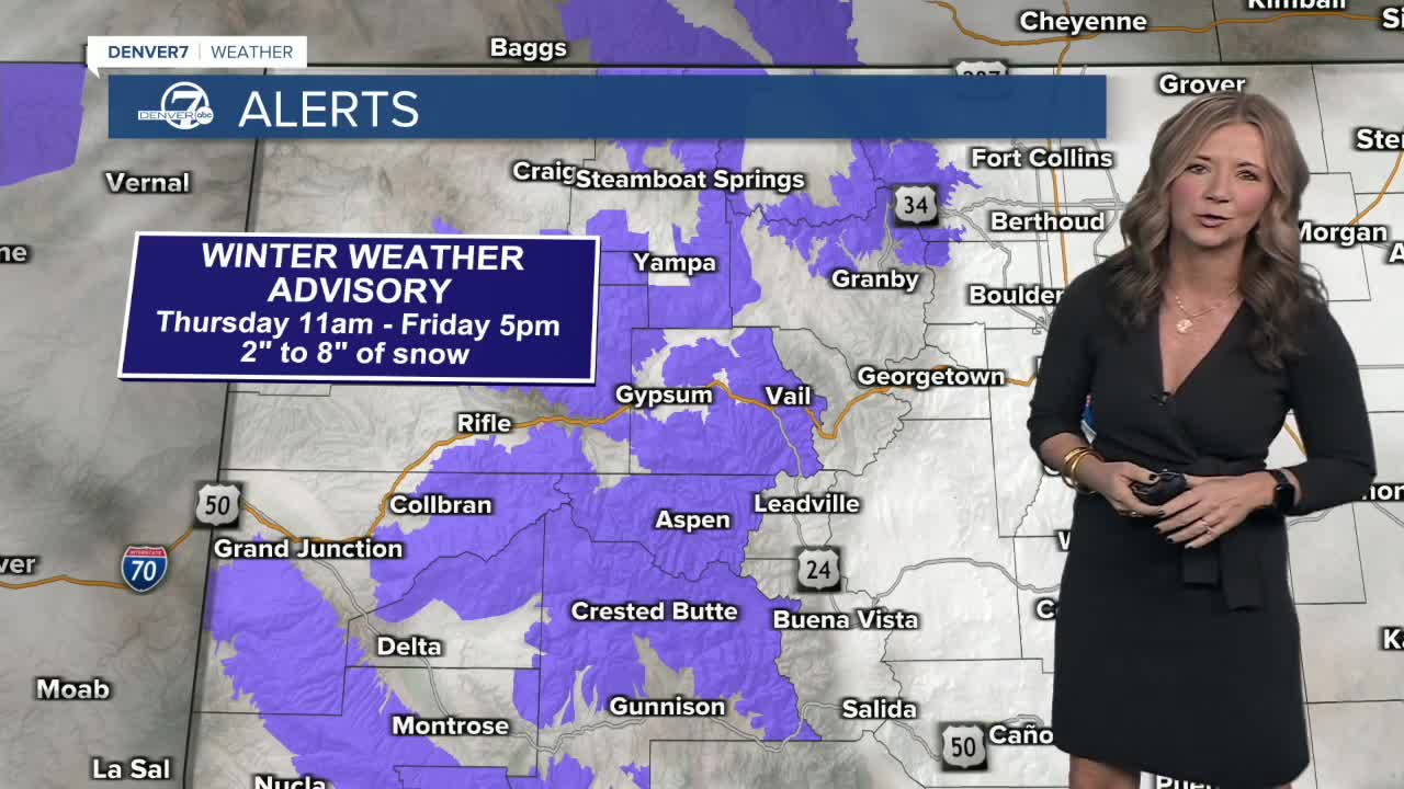
A storm system continues sliding through the Mountains on Friday. But, even in the mountains air temps are warmer than normal. I'm not expecting major snow accumulation. Winter Weather Advisories remain in effect for 4-12 inches of grand total snow accumulation. The higher end totals will occur above 9,000 to 10,000ft.

Check latest Colorado weather alerts
The Broncos Game on Sunday looks exceptionally nice with sunny skies and near-record high temps around 66 degrees. The record high is 67 set in 1956.
On average, Denver should see around 6.6 inches of snow for the month of January adding to a cumulative total for the season of around 27 inches. “At this point, we’re just over 6 and-a-half inches, so we’re hoping for a bit more,” added Hidalgo.
As of now, there doesn’t appear to be any overnight lows in Denver that will drop to below freezing over the next week.

DENVER WEATHER LINKS: Hourly forecast | Radars | Traffic | Weather Page | 24/7 Weather Stream
Click here to watch the Denver7 live weather stream.