


DENVER — It's a soggy night across Eastern Colorado as storms are moving in from the south. Look for some pockets of heavy rain along with the potential for some minor flooding near burn scars.
The showers will linger until about midnight along the Front Range and then we'll be left with mostly cloudy skies overnight. Temperatures will drop into the low 50s by early Thursday morning.
- Watch Danielle Grant's full forecast in the video player below.
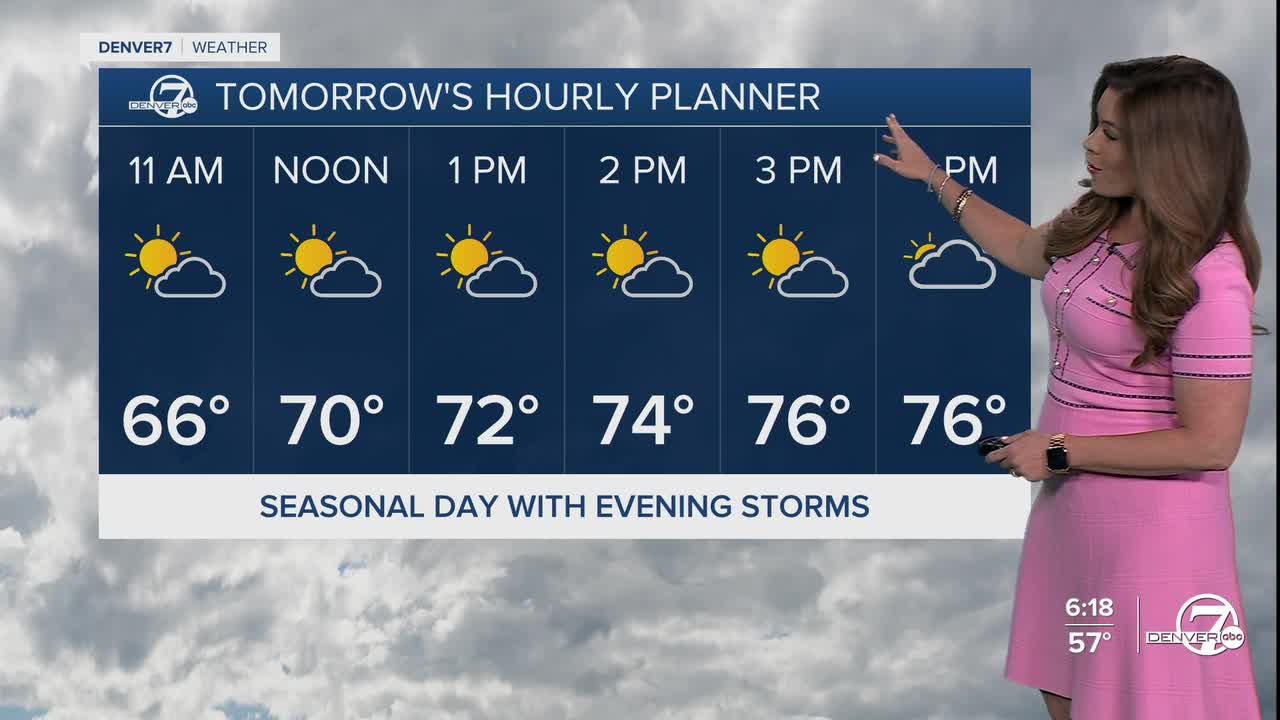
Some drier air will settle in over the next few days, but there will still be a chance of afternoon storms and showers on Thursday and Friday. Temperatures will climb back into the upper 70s on Thursday, with more low 80s on Friday.
Keep your eyes to the sky on Friday as severe storms are likely across Interstate 76 and the northeastern plains. Large hail and damaging winds will be the biggest threats but we can't rule out an isolated tornado or two.
It'll be a bit drier over the weekend with just a few storms possible on Saturday and Sunday. We could see a few severe storms pop up Saturday afternoon east of Interstate 25. We'll pinpoint the areas at risk once it gets a bit closer. Daytime highs will be seasonal in the upper 70s to low 80s this weekend.
The seasonal but unsettled weather pattern will continue into early next week, the first week of June.
DENVER WEATHER LINKS: Hourly forecast | Radars | Traffic | Weather Page | 24/7 Weather Stream
Click here to watch the Denver7 live weather stream.
