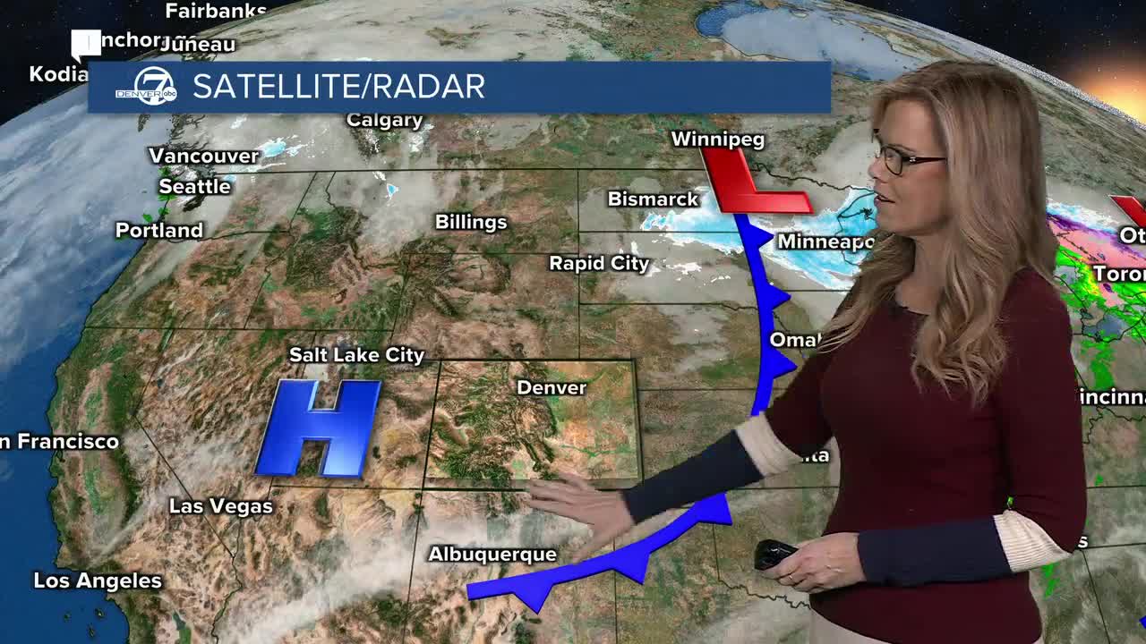


DENVER — Starting tonight, gusty winds in the Front Range mountains will slowly weaken, but blowing snow may still reduce visibility this evening. Temperatures will drop quickly after sunset, falling into the teens and single digits overnight. Any snowmelt on roads may refreeze, creating a few slick spots, especially late tonight and early Monday.

Monday will be calmer and dry with plenty of sunshine. Temperatures will recover to more seasonal levels for late December, making it feel a bit more comfortable compared to the weekend. Winds will stay relatively light, and overall travel and outdoor conditions should be much improved.
From Tuesday through midweek, temperatures will gradually warm above normal. Highs will climb into the 50s, and some areas may even approach the low 60s by Wednesday or Thursday. Skies will remain mostly clear, and dry air will keep humidity low, giving the area a quiet and pleasant stretch of weather.
Late in the week, changes may begin to develop, mainly for the mountains. A few weather systems passing nearby could bring light snow showers to the higher elevations, especially toward Thursday and Friday. At this time, snowfall looks limited and timing may still change.
For the plains, dry weather is expected to continue through the end of the week and into next weekend. Temperatures should stay mild for this time of year, with no significant storms currently expected. Overall, the pattern favors calm, dry conditions with warmer-than-normal days.

Environment
Colorado kicks off the winter season with tie for worst snowpack on record
DENVER WEATHER LINKS: Hourly forecast | Radars | Traffic | Weather Page | 24/7 Weather Stream
Click here to watch the Denver7 live weather stream.
