


DENVER — After a gorgeous and warm weekend, temperatures will cool just a bit heading into Tuesday as a fast-moving storm moves into the state.
Look for light snowfall in the northern mountains Tuesday morning with snow showers along I-70 by lunchtime. It looks like just a couple of inches of snow will stack up in the High Country. No travel advisories are in place at this time.
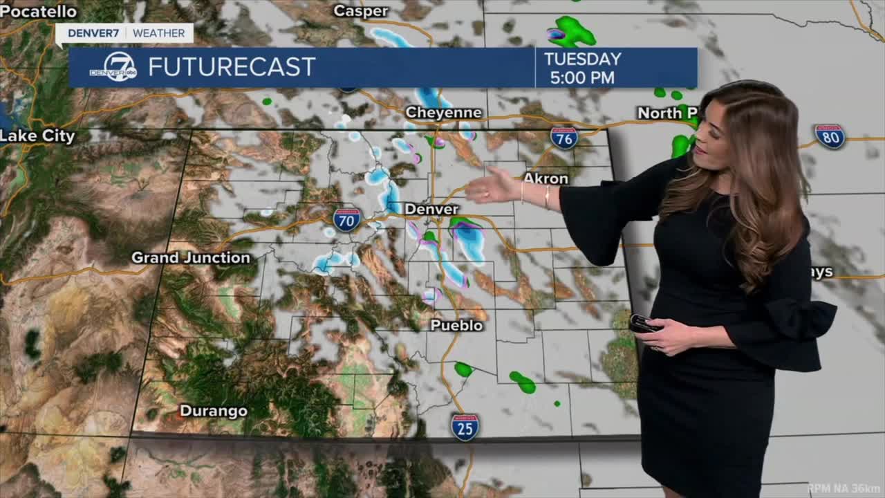
Rain and snow showers will move into the Front Range during the afternoon, especially south of Denver near the Palmer Divide. Off-and-on showers will linger throughout the evening but accumulation looks minimal with less than a half of an inch around the city.
Temperatures around the Denver metro will warm into the upper 40s to low 50s Tuesday afternoon under a mostly cloudy sky followed by a few evening showers.
This storm moves out fast as sunny skies return Wednesday. Highs will stay in the mid-40s to low 50s before warmer, drier weather returns later in the week. So far, we have 60+ degree temperatures in Denver on Thursday and continuing through early next week. Enjoy the spring-like heat while it's here.
DENVER WEATHER LINKS: Hourly forecast | Radars | Traffic | Weather Page | 24/7 Weather Stream
Click here to watch the Denver7 live weather stream.
