

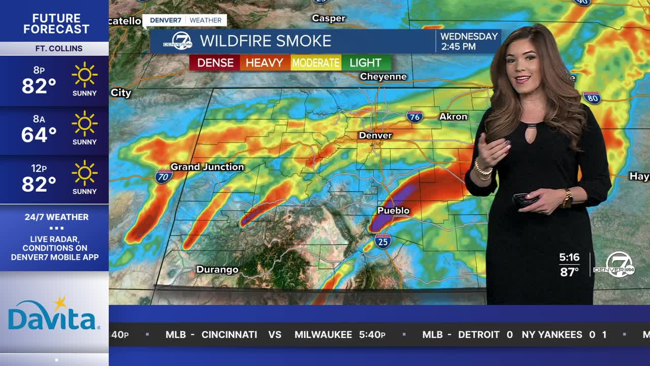


DENVER — Lather, rinse, repeat! High fire danger stretches across Colorado again on Wednesday as wind gusts crank up and fuels continue to dry out. Smoky skies lay atop much of the Denver metro as temperatures soar into the upper 80s to low 90s midweek.
Showers and storms are rumbling across parts of Colorado this evening with the potential for a few severe cells on the far Eastern Plains. Large hail and damaging winds up to 75 mph will be the biggest threats along with blowing dust and brownout conditions.
Skies clear out late tonight but the smoke sticks around the Denver metro area Wednesday. Look for hazy sunshine along with highs in the upper 80s to lower 90s around the Urban Corridor. It'll be a warm, dry and windy day across much of Colorado with a few possible storms near the Colorado Kansas border.
An Air Quality Health Advisory will continue until 4pm for wildfire smoke and high levels of ozone along the Front Range. Meanwhile, Red Flag Warnings will go back into effect at 10:00 a.m. and continue through 10:00 p.m. Wednesday for much of Colorado as winds gust up to 45 mph.
The heat sticks around for the rest of the week as highs climb into the low to mid 90s in the Denver area Thursday and Friday.
So far, it looks like a dry but hot 4th of July holiday across the state with low 90s in Denver. We'll be tracking a chance of a few gusty storms Sunday afternoon; unfortunately we're not expecting much rain out of them. The warm, dry weather continues early next week.
DENVER WEATHER LINKS: Hourly forecast | Radars | Traffic | Weather Page | 24/7 Weather Stream
Click here to watch the Denver7 live weather stream.
