


DENVER — It's a full moon! The full snow moon will be bright and clear for Colorado overnight. For the plains, expect temps in the upper 20s and low 30s near Denver and along the foothills thanks to lingering warmth. No fog is expected by Sunday morning.

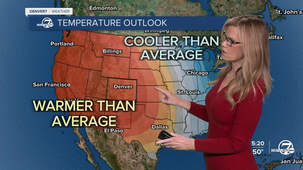
Sunday through Tuesday will stay dry and warmer than normal as a ridge of high pressure hangs out just west of Colorado. Highs on the plains and along the urban corridor will climb into the upper 50s to low 60s on Sunday and Monday, feeling more like early spring than early February.

Mountain valleys will also be mild, reaching the mid 40s. Winds will be breezy at times, especially across the northeast plains, but humidity levels look high enough to avoid any fire weather concerns.
By Tuesday, a weak cold front slides through and knocks temperatures down a bit. Highs on the plains will cool into the low 50s, while mountain areas drop into the mid 30s. Late Tuesday into early Wednesday is the next window to watch for snow, mainly in the mountains and along the Palmer Divide. Right now, chances sit around 20 to 40 percent, and if snow does develop, amounts look light and short-lived.
Any lingering snow activity should end early Wednesday as the system quickly moves out. Cooler air aloft will make Wednesday feel more seasonable, but it won’t last long. Skies turn dry again by midday, and conditions remain quiet with no widespread impacts expected across the plains.
From midweek into next weekend, the overall trend turns warm and dry once again. Temperatures rebound quickly, with highs climbing back into the low 60s on the plains and upper 40s in the mountain valleys by late week. Arctic air stays locked well to our north and east, so it looks like Colorado will avoid any prolonged cold spells as we head toward the weekend.
DENVER WEATHER LINKS: Hourly forecast | Radars | Traffic | Weather Page | 24/7 Weather Stream
Click here to watch the Denver7 live weather stream.
