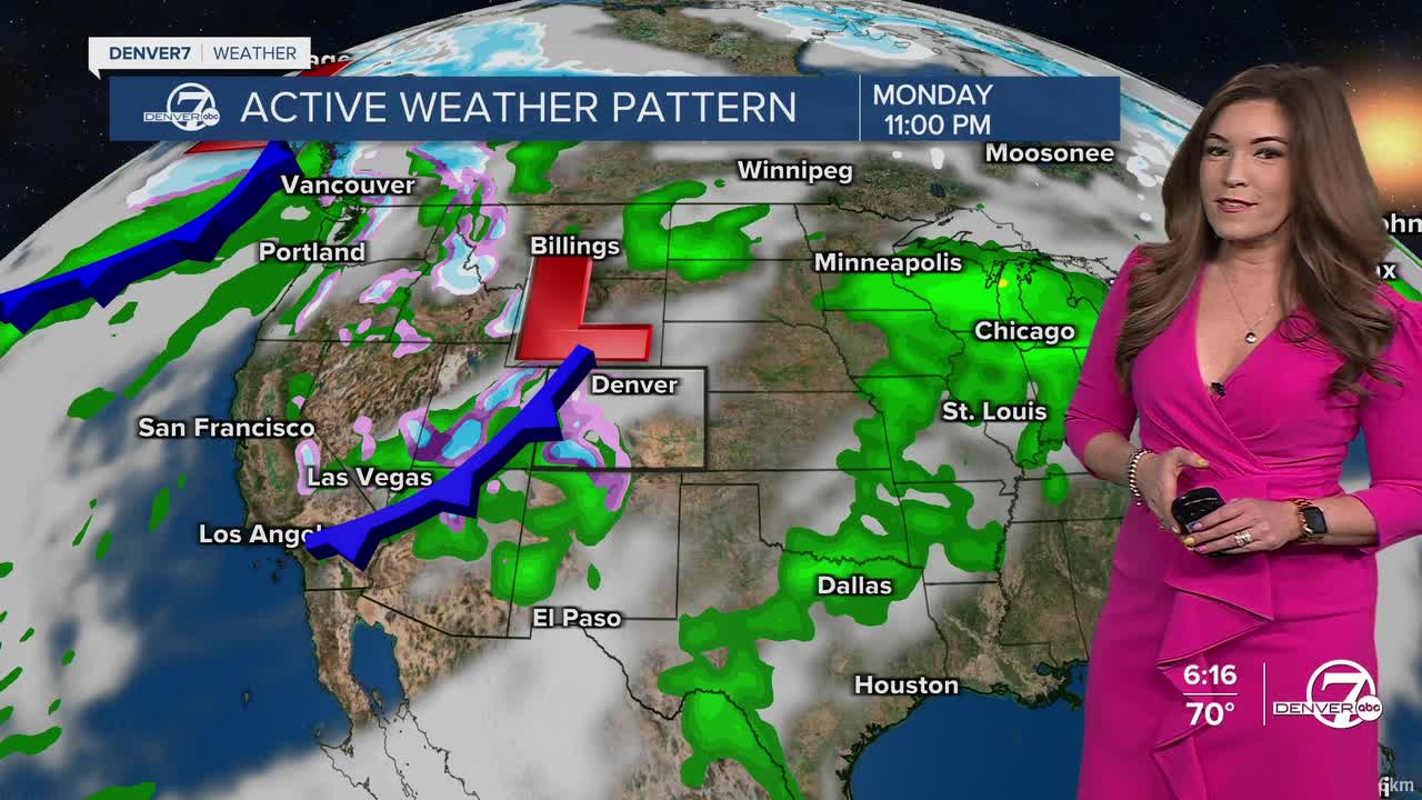


DENVER — Here comes Colorado's next storm! Moisture increases in the mountains first, with snow developing overnight and becoming more widespread during the day Tuesday. Travel over higher passes could become tricky as snow adds up, especially at the higher elevations.
A cold front will push across the Front Range dropping daytime highs into the upper 50s to low 60s Tuesday. Look for increasing clouds after lunch with scattered showers throughout the afternoon and evening in the Denver metro and on the plains. We could even see and hear a few thunderstorms!
The winds will continue to kick up in southeastern Colorado, leading to another day of high fire danger. We'll likely see gusts near 30 mph, with relative humidity dropping below 10 percent. A Red Flag Warning will go into effect for much of this area from 11 a.m. to 8 p.m. Tuesday.
We'll get a break from the wet weather on Wednesday and Thursday, as highs return to the low to mid 70s in Denver under mostly sunny skies.
Another, more powerful, system looks to move in toward the end of the week. This one looks to bring more widespread precipitation to the region, with heavy snow in the mountains and possibly a bit in the Denver metro. Snowfall amounts look fairly minimal but it looks like it could be a cold and snowy end to the work week in the Mile High City. This would be Denver's first snowfall of the month.
So far, it looks like this system will move out fast. Sunny skies and gradually warming temperatures return this weekend.
DENVER WEATHER LINKS: Hourly forecast | Radars | Traffic | Weather Page | 24/7 Weather Stream
Click here to watch the Denver7 live weather stream.
