

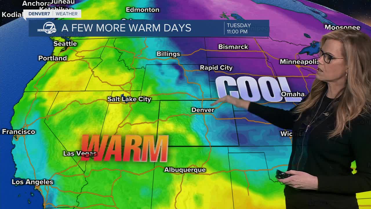


DENVER — Conditions will stay quiet and comfortable across Colorado tonight. Skies will remain mostly clear with mild overnight temperatures, setting up a pleasant stretch of weather through the rest of the weekend. There’s no sign of storms or major changes yet, so it’s a good time for outdoor plans.

Sunday continues the warm and dry pattern. Afternoon temperatures will climb into the 60s and 70s for lower elevations, including around the Denver area. Humidity will stay very low, but winds are expected to remain light, so fire danger is not a major concern. Overall, it will feel more like late spring, with plenty of sunshine.
By Monday, things begin to shift slightly. The day will still start fairly mild, but clouds will increase through the afternoon. There’s a chance of a few brief rain showers developing, especially later in the day, though many of these may produce little rainfall and instead bring gusty winds. The bigger change arrives Monday evening, when a cold front moves in, bringing cooler air and more widespread precipitation.

Tuesday is shaping up to be the most active day. Temperatures will drop throughout the day, with steady rain developing across the plains. As colder air settles in, rain is expected to mix with and then change to snow by Tuesday evening, especially around the Denver metro area and along the I-25 corridor. While daytime hours may stay just warm enough for rain, conditions will turn more wintry by night.
From Tuesday night into Wednesday, the system strengthens. Snow becomes more likely, with light accumulations possible in lower elevations and higher totals in the mountains. Mountain areas could see significant snowfall, and there’s an increasing chance of snow impacting travel corridors by Wednesday morning. Conditions should gradually improve later Wednesday as the storm moves out, though chilly air will linger behind it.
DENVER WEATHER LINKS: Hourly forecast | Radars | Traffic | Weather Page | 24/7 Weather Stream
Click here to watch the Denver7 live weather stream.
