


DENVER — It's a good news before the bad news situation.
The good news first: a cold front is moving into Colorado this evening, ushering in some much-needed snow to the mountains and a few rain showers to the plains. The bad news? Fire danger ramps up dramatically Thursday.
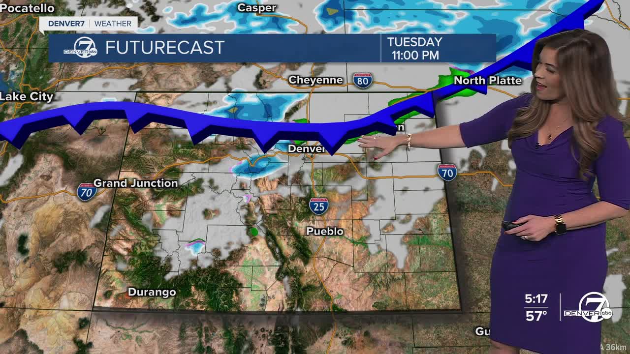
Let's go through tonight's storm. Look for this incoming cold front to move across the Denver metro area around 10pm. Behind the front, northerly winds could gust up to 50 mph, especially across foothills. We'll see some snow showers in the northern and central mountains overnight with about 1 to 3 inches of new snow.
Temperatures will be somewhat cooler heading into Wednesday, with highs in the low to mid 50s along the Urban Corridor. Despite the cool off and more seasonal readings, look for plenty of sunshine statewide.
A ridge of high pressure builds back into the state Thursday, bringing unseasonably warm temperatures and fierce winds. A Fire Weather Watch is in effect from 10am to 8pm for the Front Range foothills, Denver metro along with the Eastern Plains. Wind gusts in the foothills could top between 80 and 90 mph Thursday while the metro could see 40 to 50mph gusts.
The 70+ degree heat along with blustery winds continue Friday and Saturday, so fire danger concerns will continue into the weekend. In fact, we'll be near the record high on Saturday in the mid to upper 70s.
Another storm moves into the state Sunday, dropping temperatures a solid 30-degrees! We'll see highs in the low 40s with a chance of rain and snow in the Denver metro with some snowfall accumulation in the mountains.
The wet weather and cool off will be brief, as the 70+ degree March heat returns next Tuesday.
DENVER WEATHER LINKS: Hourly forecast | Radars | Traffic | Weather Page | 24/7 Weather Stream
Click here to watch the Denver7 live weather stream.
