

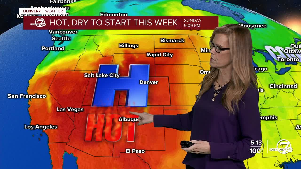


DENVER- Starting tonight, it’ll stay very warm with overnight temperatures that won’t cool off much. Some places could even see record warm low temperatures by Monday morning, so it may be tough to get much relief from the heat overnight.

Monday will be another hot day, with highs reaching the upper 90s to lower 100s across much of the area. A Heat Advisory remains in effect through Monday evening for the I-25 corridor and Weld County. There’s still some uncertainty about how quickly a cold front moves in, especially across the northern plains, but areas farther south are expected to stay very hot.

A few isolated showers or storms could develop Monday afternoon as the cold front arrives. Many spots may stay dry, but any storms that do form could produce strong, gusty winds even if little or no rain reaches the ground. Fire weather concerns will also remain elevated, especially where low humidity overlaps with those gusty winds.
The good news is that cooler air arrives behind the front. Tuesday and Wednesday will bring a noticeable break from the heat, with temperatures dropping 15 to 25 degrees across the plains. There will also be a chance for a few afternoon and evening thunderstorms, mainly on Tuesday.
The cooler weather won’t last long, though. Temperatures are expected to gradually climb through the rest of the week, with highs nearing or topping 100 degrees again by Friday or Saturday. Rain chances will decrease as hotter, drier conditions return heading into next weekend.
.
DENVER WEATHER LINKS: Hourly forecast | Radars | Traffic | Weather Page | 24/7 Weather Stream
Click here to watch the Denver7 live weather stream.
