


DENVER-Keep your eyes to the sky tonight as storms move into the metro area from the foothills. We are seeing a lot of lightning with these storms and you might experience heavy rain as they push through.
Overall, it's shaping up to be a pretty typical summer week around here, with afternoon showers and thunderstorms expected most days. The storms will mostly pop up over the mountains first, and some of them could drift onto the plains later in the day. The best shot at widespread rain on the plains looks to be on Wednesday, so if you’ve been waiting for a good soaking, that’s the day to watch.

Temperatures are going to stay hot for the first half of the week, with highs sticking in the 90s across the plains. Some spots could even get close to 100 degrees on Monday or Tuesday. If you’re spending time outside, just be sure to take breaks, drink plenty of water, and find some shade when you can.
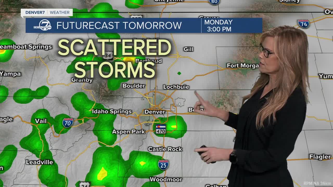
On Monday and Tuesday, most of the storm action will stay up in the mountains, but there’s still a chance a few storms slide eastward into lower elevations. Even if it doesn’t rain in your area, storms could send out strong gusty winds-those sudden blasts that kick up dust and knock over lawn chairs. While it doesn’t look like we’ll see severe weather, those outflow winds could get pretty strong at times.
Wednesday brings some changes. A cold front is expected to move through, which will cool things off a bit and increase our chances for more widespread rain. Storms could be more active across both the mountains and plains, so plan on a higher chance of getting wet that day.
By Friday, the heat will start to creep back in, with temperatures climbing back into the 90s and the usual pattern of afternoon storms returning. It won’t be a total washout any day, but keep your umbrella or rain jacket nearby just in case something drifts over your area in the afternoon or evening.
DENVER WEATHER LINKS: Hourly forecast | Radars | Traffic | Weather Page | 24/7 Weather Stream
Click here to watch the Denver7 live weather stream.
Denver7 live 24/7 weather stream
DENVER WEATHER LINKS: Hourly forecast | Radars | Traffic | Weather Page | 24/7 Weather Stream
Click here to watch the Denver7 live weather stream.
