


DENVER — From winter snow last week to sizzling summer heat this week, you've got to love Colorado's ever-changing weather!
- See Danielle Grant's full forecast in the video player below.
Look for mostly clear skies tonight as lows dip into the lower 50s overnight. A cold front will swing into the state early Tuesday morning, bringing slightly cooler air behind it.
Despite the cold front, Tuesday will still be a warm day with afternoon highs near 80 degrees along the Urban Corridor.
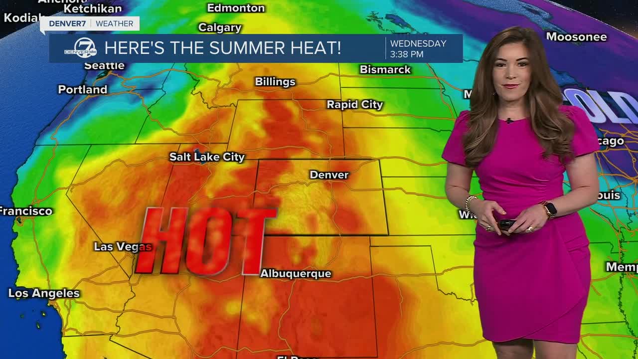
A ridge of high pressure ramps back up again mid-week, bringing some serious summer-like heat to the Front Range! Highs will skyrocket back into the upper 80s, possibly flirting with 90-degrees in the Denver metro area. The current record high is 90-degrees, last set in 1915.
Besides the heat, we could see a few afternoon showers and storms Wednesday along the I-25 corridor and E. Plains. So far, it doesn't look like we'll see any severe cells in the Denver metro.
The warming trend continues throughout the week with highs soaring into the low to mid-80s under mostly sunny skies.
It'll be a warm start to the weekend with highs in the mid 80s Saturday and mid 70s Sunday.
So far, it looks like another round of rain and more seasonal temperatures will return to the region next Monday.
DENVER WEATHER LINKS: Hourly forecast | Radars | Traffic | Weather Page | 24/7 Weather Stream
Click here to watch the Denver7 live weather stream.
