

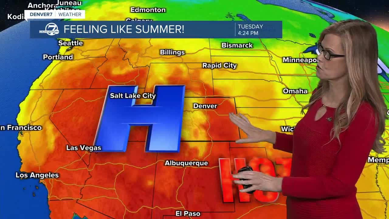


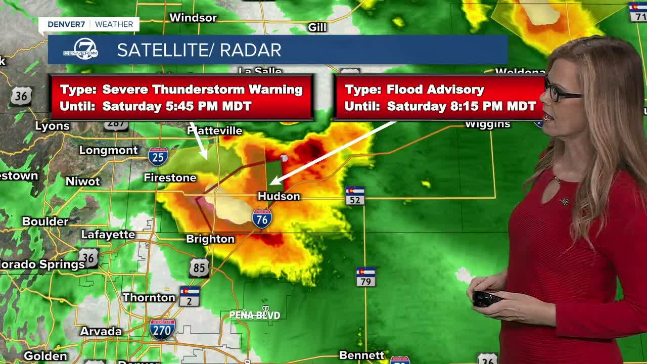
Tonight, storms will gradually push east across the plains, with a few stronger storms still possible into the evening. Some storms could bring gusty winds, small hail and locally heavy rain. A few spots could also pick up enough rain quickly to cause minor flooding.
Sunday stays fairly warm, with highs generally in the 90s along the I-25 Corridor and plains. We’ll see scattered afternoon and evening showers and thunderstorms, especially as storms move off the mountains. A couple of storms could turn severe, but most should be on the weaker side.
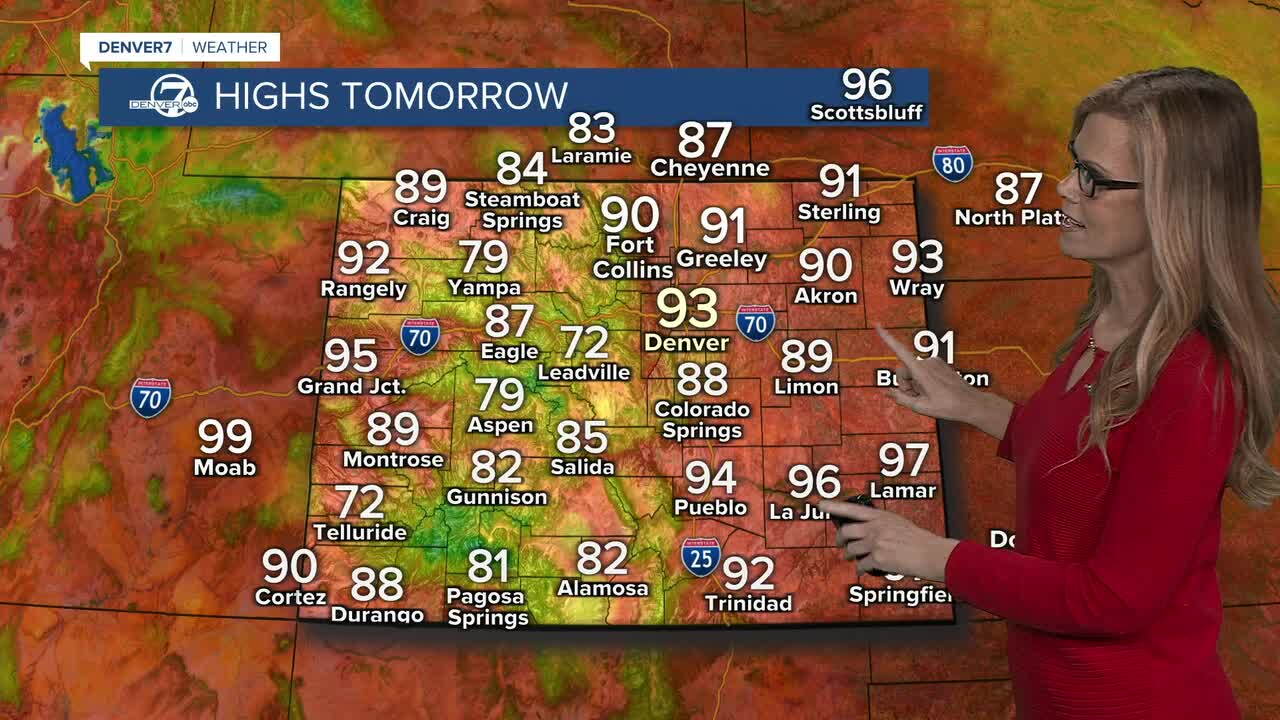
Monday looks pretty similar, with another warm day and more scattered storms in the afternoon and evening. Highs will again reach the low to mid-90s for many areas. There’s still a chance for a couple of strong to severe storms, so it won’t be completely quiet.
A weak cool front moves in Tuesday and Wednesday, knocking temperatures down a few degrees and bringing us closer to normal for late August. It will still be warm, but the afternoons should feel a little more comfortable. We’ll also keep the chance for scattered showers and thunderstorms during this stretch.
By Thursday and Friday, we should start to dry out with fewer storms around. That sets the stage for a return to more typical summer heat heading into next weekend. Highs could climb back into the mid-90s, with some spots potentially nearing the upper 90s as the weather turns hotter and drier.
Check latest alerts in our Colorado weather blog here.
DENVER WEATHER LINKS: Hourly forecast | Radars | Traffic | Weather Page | 24/7 Weather Stream
Click here to watch the Denver7 live weather stream.
