


DENVER — Here we go, Colorado! A major spring storm is slamming into the state ushering in feet of heavy snow to the mountains and several inches of wet, spring snow to the Denver metro area overnight into Wednesday.
A Winter Storm Warning is in effect until 3 p.m. Wednesday for Denver, Boulder, Fort Collins, Castle Rock and surrounding areas, including the western suburbs.
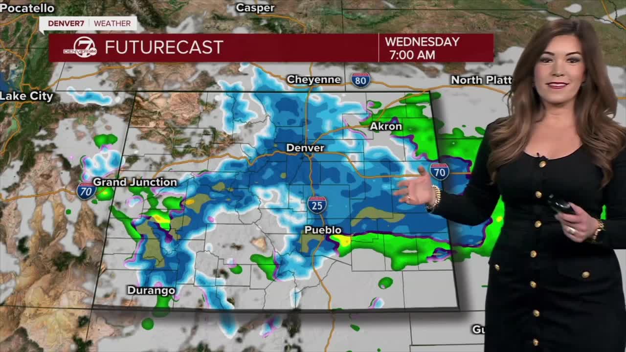
- Watch Danielle Grant's full forecast in the video player below.
This spring storm peaks late tonight into Wednesday morning as we're expecting the heaviest snow to fall during coldest time period. This means the snowfall could stack up more efficiently overnight. The city could also see broken tree branches from the wet, heavy snow, so be sure to shake your trees off before you go to bed! Downed power lines and power outages are also concerns along the Front Range.
So far, it looks like this storm will bring between 4 and 8 inches of snow around the city with 5 to 10 inches in Fort Collins, Boulder and south toward Castle Rock and the Palmer Divide. Some areas near the foothills could easily end up with up to 12 inches of heavy, wet spring snow by Wednesday afternoon.

Road conditions may become slick and slushy, especially during the Wednesday morning commute, as snow could start to stick to the pavement. Plan ahead and go slow on the roads!
Traveling could become difficult, if not dangerous, north of Interstate 70 along the higher mountain passes as we're expecting significant heavy snow in those locations.
The northern and central mountains will see heavy snow as a Winter Storm Warning is in effect until 3pm Wednesday. Areas north of Interstate 70 could see 14 to 24 inches of new snow with some areas receiving up to 30 inches above 9,000 feet. Winter Park, Breckenridge and the Eisenhower/Johnson Tunnels could get 6 to 16 inches of snow by Wednesday afternoon.
We'll see skies gradually clear by Wednesday afternoon and evening but that means temperatures will drop like a rock. A Freeze Warning will go into effect 8pm Wednesday through 8am Thursday for the Interstate 25 corridor and Eastern Plains for lows dipping into the low 20s, bringing a hard freeze to the area. Protect your plants and pipes!

Temperatures rebound into the mid to upper 60s Thursday under mostly sunny skies. We'll see lots of melting along the Front Range as highs top off in the low 70s Friday.
So far, it looks like the mild weather sticks around through the weekend with a few passing showers. Heading into next week, the spring heat moves in with highs in the 80s on Monday and Tuesday.

DENVER WEATHER LINKS: Hourly forecast | Radars | Traffic | Weather Page | 24/7 Weather Stream
Click here to watch the Denver7 live weather stream.
