


Fast and furious! It's been a blustery night across the Front Range mountains, foothills and metro area with gusts up to 50 mph. The strong winds will linger overnight, but weaken a bit Wednesday morning.
A cold front will swing through the state tonight and that will lead to a 20 degree cool down on Wednesday. It'll be a dry front, so don't expect any rain or snow along the I-25 corridor.
We'll see highs in the upper 40s on Wednesday under a mostly sunny sky. The winds won't be nearly as brutal but still breezy with gusts up to 20 to 30 mph.
After a brief cool off mid-week, temperatures skyrocket back to the 60s as another high pressure system moves in, bringing mild and dry weather to the region through the weekend. Get outside and enjoy it while it lasts!
We're keeping an eye on early next week. It looks like the Denver metro could see a few rain and snow showers Monday into Tuesday (and possibly Wednesday). We'll fine tune the details and the impacts as the storm system gets closer.
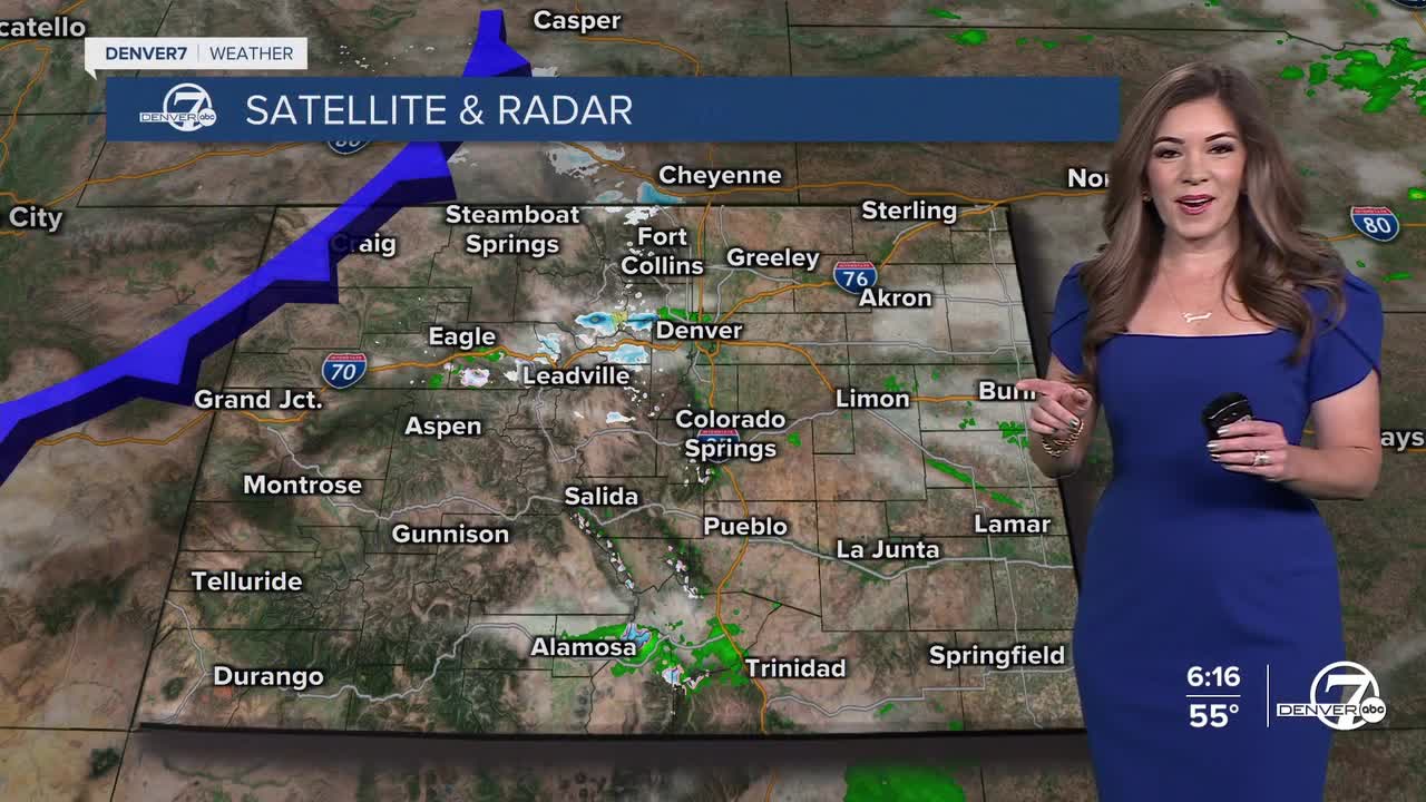
DENVER WEATHER LINKS: Hourly forecast | Radars | Traffic | Weather Page | 24/7 Weather Stream
Click here to watch the Denver7 live weather stream.
