

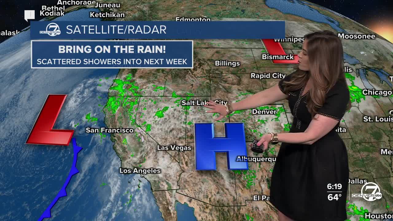


DENVER — Scattered showers will continue to move across the Front Range this evening, with some areas possibly getting a brief heavy downpour and a rumble of thunder!
The rain moves out by about 10pm as partly to mostly cloudy skies move in to much of the state. Overnight lows will drop into the upper 30s to low 40s along the Interstate 25 corridor.
It'll be a mostly cloudy start to your Friday with some clearing midday. Look for temperatures to dip just a smidge on Friday, courtesy of Thursday evening's cold front. Highs will sit in the upper 60s to low 70s. We're in for another round of more widespread rain showers Friday afternoon and evening — a slightly better chance of seeing wet roads for the Friday evening commute!
The clouds and rain stick around through the start of the weekend with temperatures holding in the low to mid 70s Saturday and Sunday.
We could get a brief break from the wet weather Sunday and Monday before a stronger storm moves in Monday night into Tuesday. This would drop daytime highs into the upper 50s to low 60s and give us a good shot of rain in the metro and snow in the mountains.
The April showers we so desperately need are finally here! Hope your lawns are loving it!
DENVER WEATHER LINKS: Hourly forecast | Radars | Traffic | Weather Page | 24/7 Weather Stream
Click here to watch the Denver7 live weather stream.
