

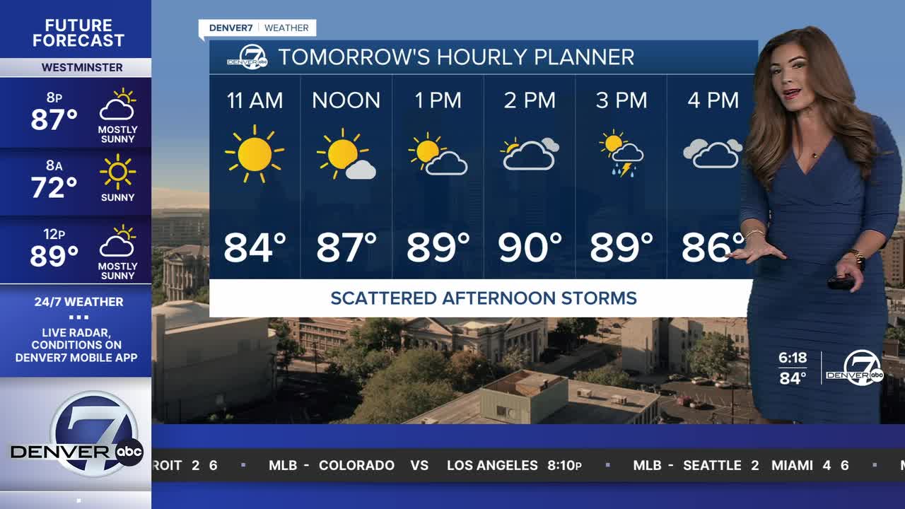


DENVER — After a 6-day stretch, look for one more day in the 90s midweek before a brief break Thursday. A heat dome moves into Colorado this weekend into next week bringing highs into the upper 90s to triple digits around the Denver metro.
Watch the full forecast in the video player below.
Air quality alerts are in effect until 9am Wednesday for parts of the High Country for smoke from multiple wildfires burning out west and south. With northwesterly winds Wednesday, the thick smoke will scour out a bit along the Front Range.
Daytime highs will climb into the low 90s Wednesday along the Interstate 25 corridor. Increasing afternoon clouds and scattered storms will drop temperatures back into the 80s by the late afternoon. Strong winds, lightning and areas of heavy rain will be possible with some severe cells along the northeastern plains.
These showers and storms could create additional challenges for firefighters battling Colorado's wildfires right now, as flash flooding is possible around the Aspen Acres burn scar area. In fact, a Flash Flood Watch is in effect Wednesday for parts of Pueblo county.
Highs will scale back into the upper 80s Thursday but the moisture sticks around and the coverage will become more widespread. Severe storms will once again be possible along the plains.
A massive heat dome will impact Colorado starting this weekend, sending temperatures skyrocketing into the upper 90s to near triple-digits. It comes with very dry conditions, limited storm chances and an increase in fire danger concerns. The above-average, near record-breaking heat sticks around early next week.
DENVER WEATHER LINKS: Hourly forecast | Radars | Traffic | Weather Page | 24/7 Weather Stream
Click here to watch the Denver7 live weather stream.
