


DENVER — Finally! Relief from the heat is here! After an early morning cold front, daytime highs only climbed into the lower 80s Friday afternoon. Temperatures across the Front Range will stay below-average for about the next week.
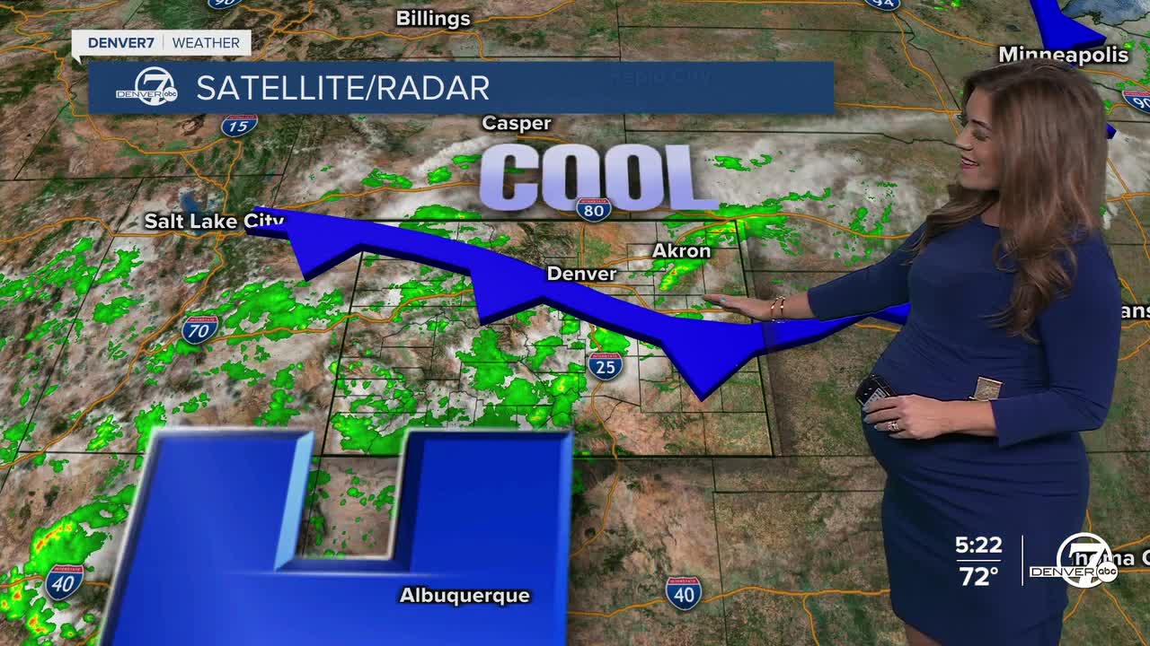
Scattered storms are rumbling across Colorado this evening with a few developing around the Denver metro area. Some storms could linger late into the night with a couple of stronger cells moving across the northeastern plains and along Interstate 76.
It gets even cooler this weekend! We'll see highs in the upper 70s both Saturday and Sunday along with scattered afternoon and evening storms. This cooler, wetter than average weather pattern sticks around into early next week.
Rain chances increase even more next week, especially on Monday. Forecast models are showing impressive levels of atmospheric moisture, with conditions supportive of storms that could produce heavy rainfall and possible flooding. If this trend holds, Monday and possibly Tuesday could be quite cool and soggy, with highs struggling to reach the low 70s across the plains and along the Interstate 25 corridor.
So far, it looks like the 70s stick around all week long. Enjoy the cool off while it's here!
DENVER WEATHER LINKS: Hourly forecast | Radars | Traffic | Weather Page | 24/7 Weather Stream
Click here to watch the Denver7 live weather stream.
