


DENVER — After days of high fire danger, much-needed rain and cooler temperatures will move into much of Colorado. Considering how dire the state's drought conditions are, this is a welcome sight to see!
Look for a cold front to race through Friday night, bringing a big drop in temperatures overnight. Lows will bottom out in the upper 20s to low 30s along the Urban Corridor.
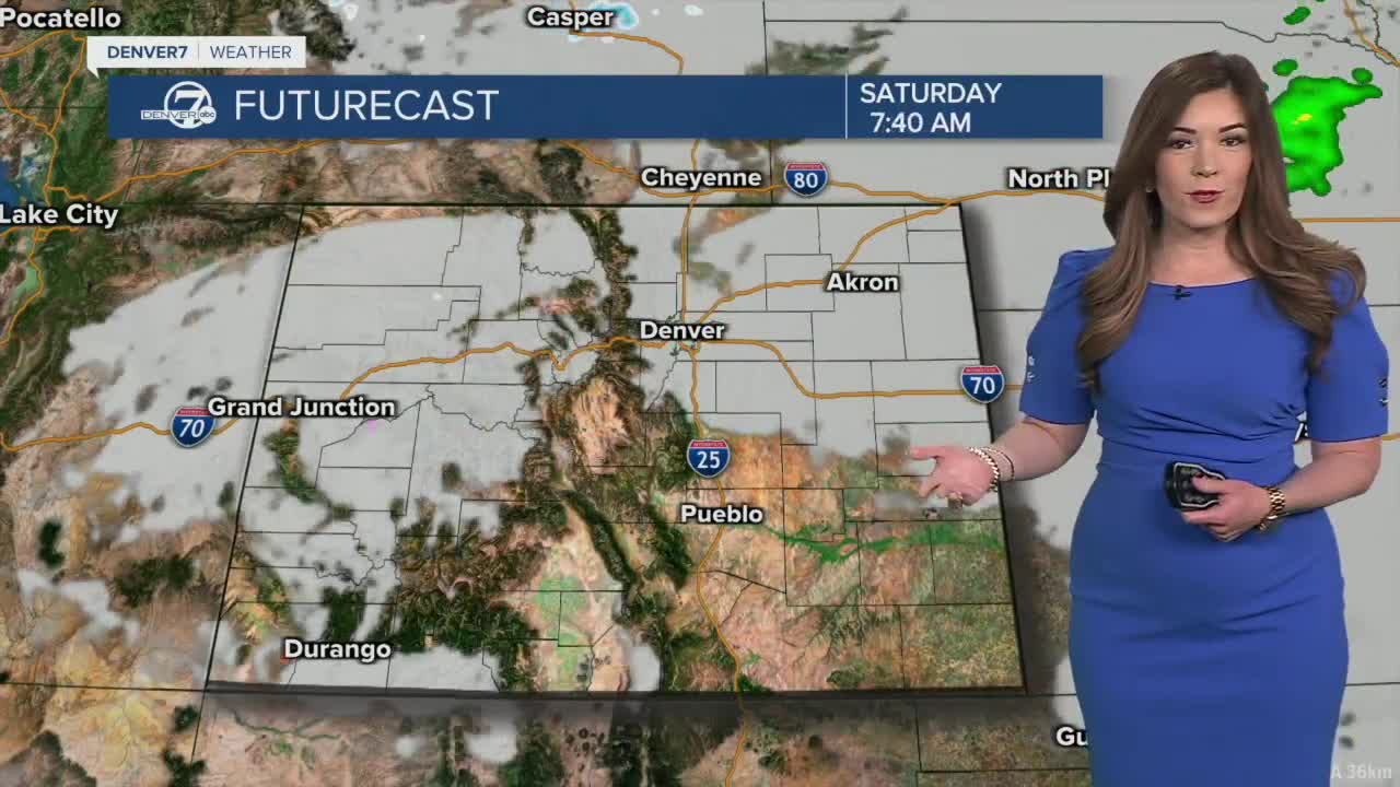
We'll wake up to partly to mostly cloudy skies Saturday with a brief pocket of sunshine midday. Temperatures will only warm into the upper 50s to low 60s, slightly below-average for this time of year. Keep your umbrellas handy! We'll see a few light rain showers in the afternoon with a better chance later Saturday night.
Mostly cloudy skies continue Sunday along with more widespread rain showers in the Denver metro area. We could see a few afternoon thunderstorms rumbling through town with a better chance of severe storms on the Eastern Plains. Large hail and damaging winds will be the biggest threats.
Look for a bit of snow above 8,500 feet with the most treacherous winter driving conditions along the higher mountain passes Sunday afternoon and evening.
The unsettled weather pattern will continue through next week with a chance of showers nearly every afternoon and evening. It looks like temperatures will stay in the 50s and low 60s for much of next week. So far, models show Thursday as being the wettest day out of the entire week.
DENVER WEATHER LINKS: Hourly forecast | Radars | Traffic | Weather Page | 24/7 Weather Stream
Click here to watch the Denver7 live weather stream.
