

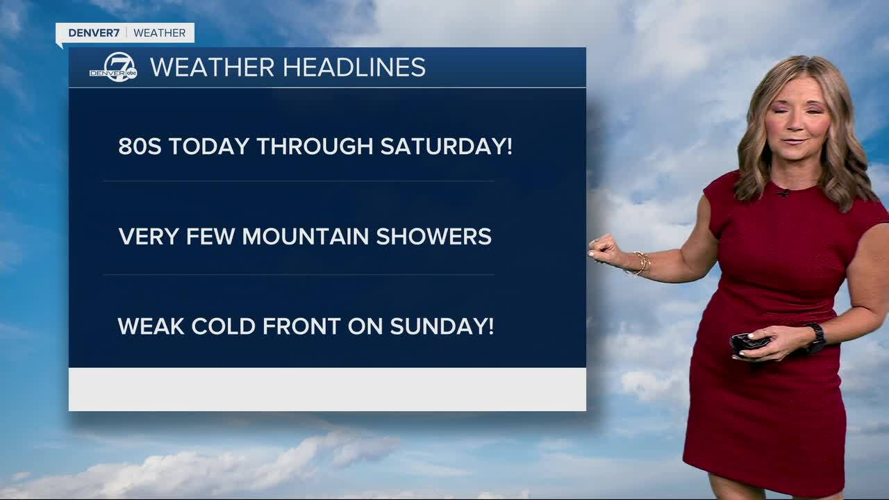


It's the first week of October, but it's going to feel more like August as temperatures soar about 10 to 20 degrees above normal from today through Saturday!
Monday will be really warm, with temperatures climbing to record levels. The record high in Denver is 87 degrees and we're calling for 88 degrees. Some cities across the northeastern plains and urban corridor could reach 90 degrees by 4 p.m.
Tuesday will see an increase in cloud cover, but it will still be well above normal with highs in the mid- to upper 80s. A few isolated showers will develop over the higher elevations during the afternoon, with only a small chance of a shower elsewhere.
From Wednesday through Saturday, temperatures should ease back a few degrees but remain well above average. The mountains could see a few spotty afternoon showers each day, though most areas will stay dry and any rain will be very localized.
A weak front will dip our temperatures down into the mid-70s on Sunday, but that's still well above the normal high of 67 degrees.
By early next week, the pattern could change as a stronger system moves into the region. That may bring more widespread precipitation, especially to the mountains, along with a noticeable cool down, although the timing and strength of that change are still uncertain.
DENVER WEATHER LINKS: Hourly forecast | Radars | Traffic | Weather Page | 24/7 Weather Stream
Click here to watch the Denver7 live weather stream.
