


DENVER — Get ready—Colorado’s first real taste of winter is here.
A Winter Weather Advisory is in effect for the high country tonight through Tuesday, and travel across the mountains could get tricky.
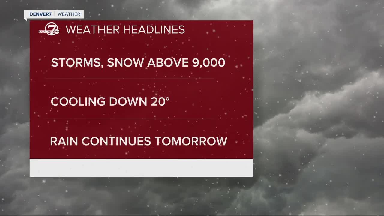
Snow is already piling up in the higher elevations of the Front Range mountains, and some peaks could see a foot or more by Tuesday night.
Mountain passes, such as Berthoud Pass, Cameron Pass, and the approach to the Eisenhower/Johnson Tunnels, are likely to receive 3 to 8 inches of snow.
Snow levels could dip down to 9,000 feet overnight and Tuesday, meaning even stretches of the Peak-to-Peak Highway might see some flakes.

For everyone else, expect scattered showers and thunderstorms tonight—with rain becoming widespread by Tuesday.
- Mountain Travel: Snow and slush will make for slippery conditions on high passes Tuesday morning into the afternoon.
- Plains: A chilly soaking rain will linger most of the day on Tuesday. Totals could reach 0.5–1.5 inches, keeping highs stuck in the 50s.
- Storm Potential: A few stronger storms may fire on the eastern plains tonight before the colder air settles in.
- Visibility Issues: Fog could develop in spots where rain holds steady.
This storm system is being driven by an upper-level low sliding across Colorado, with plenty of moisture and upslope winds to squeeze out heavy precipitation.
Snow levels will fluctuate depending on intensity, but the coldest model solutions suggest snow could briefly drop as low as 8,500 feet.

By Wednesday, the storm will move out into the Midwest, and drier, warmer weather will return.
Sunshine and milder temperatures are expected to hold through most of the week, with the next real chance of precipitation not showing up until late in the weekend—if at all.

DENVER WEATHER LINKS: Hourly forecast | Radars | Traffic | Weather Page | 24/7 Weather Stream
Click here to watch the Denver7 live weather stream.
