


DENVER — Here comes Colorado's next winter storm! It'll hit the northern mountains, spreading onto the Front Range mountains and south into Summit County overnight. The snow will linger until about midday Thursday, so a heads up if you're traveling Interstate 70. Snow totals are expected to remain light, around 1 to 4 inches.
Meanwhile, we're looking at partly cloudy skies overnight in Denver with lows dropping into the mid 20s.
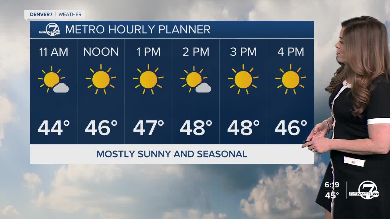
It'll be a dry and mostly sunny Thursday across much of Eastern Idaho. Daytime highs will be slightly cooler in the mid to upper 40s along the Urban Corridor Thursday.
A weak backdoor cold front moves into northeast Colorado Friday, bringing a chance of light snow showers along I-76. The cooler air is shallow but could seep into the Denver area, as temperatures will top out in the mid 40s.
A ridge of high pressure builds back in for the weekend. This brings daytime highs into the mid to upper 50s as we head into February!
Another storm could potentially move into the Denver metro next Tuesday, bringing a chance for a few snow showers. Cross your fingers, and stay tuned as it gets closer!
DENVER WEATHER LINKS: Hourly forecast | Radars | Traffic | Weather Page | 24/7 Weather Stream
Click here to watch the Denver7 live weather stream.
