

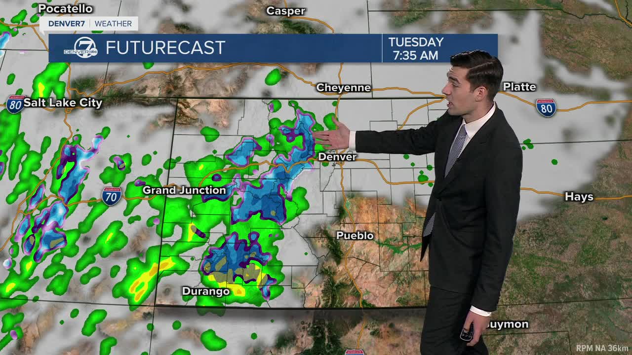


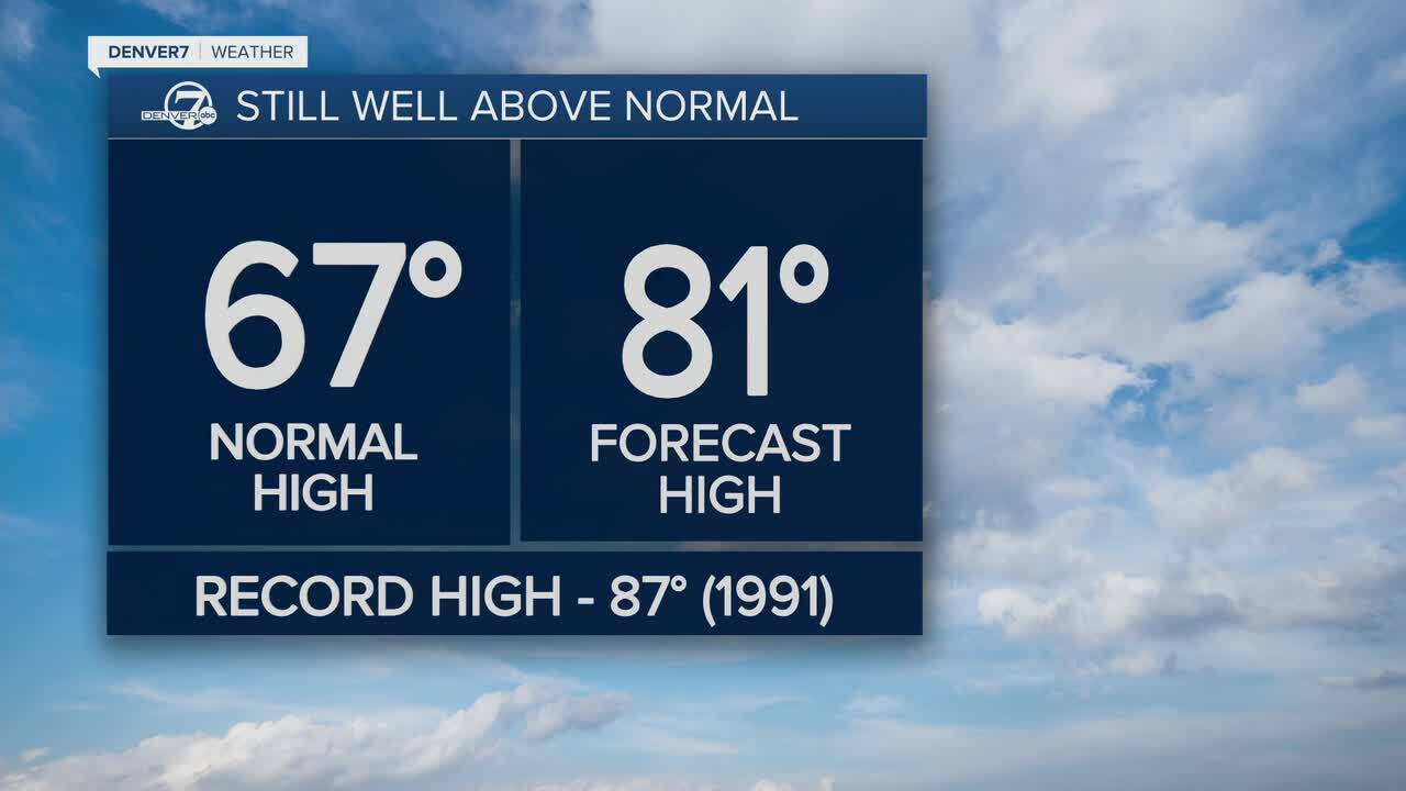
DENVER — This week starts with one last unseasonably warm and sunny day, before big changes in the coming days. We'll likely hit 80 again Monday in Denver, with scattered showers staying mostly west of the Continental Divide.
Cooler air moves in early Tuesday, leading to a near-average fall temperatures topping out in the mid-60s. We'll see building clouds and widespread mountain rain and snow. The high country will get several inches of snow, accumulating mostly above 10,000 feet. The journey into the mountains on I-70 could turn treacherous Monday night through Wednesday with winter driving conditions expected.
Better rain chances arrive for the Denver metro Tuesday evening, carrying into a wet and dreary day on Wednesday. Temperatures will drop noticeably once again, with highs falling into the 50s.
Chances for showers stick around into Thursday, with highs around 60 to end the week. We'll see more sunshine and a warm-up just in time for the weekend.
DENVER WEATHER LINKS: Hourly forecast | Radars | Traffic | Weather Page | 24/7 Weather Stream
Click here to watch the Denver7 live weather stream.
