


DENVER — After 5 days in a row in the 90s, cooler, more fall-like temperatures return Friday and stick around for much of next week.
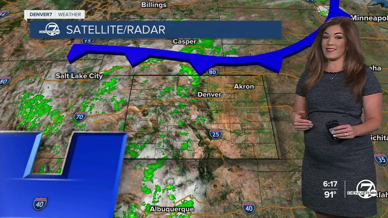
Denver stayed just shy of the record high of 99 degrees this afternoon. Storm activity will be very limited, but we could see a few gusty storms in the mountains and closer to the foothills this evening.
Our next cold front will roll in early Friday and will bring about a nice change. This front will knock temperatures down into the low to mid-80s and that's about 15 degrees cooler than Thursday. We'll see an increase in moisture and some late afternoon and evening thunderstorms and showers. A few stronger storms could develop, especially over the northeastern plains along I-76.
The weekend will be quite a change from the recent stretch of heat. With cooler air filtering in and moisture lingering, highs will stay below normal and showers or storms will be possible each day. Temperatures will also continue to drop, with low 80s on Saturday and upper 70s to low 80s on Sunday!
Looking ahead to early next week, rain chances increase even more, especially on Monday. Forecast models are showing impressive levels of atmospheric moisture, with conditions supportive of storms that could produce heavy rainfall and possible flooding. If this trend holds, Monday and possibly Tuesday could be quite cool and soggy, with highs struggling to reach the 70s across the plains and along the Interstate 25 corridor. Enjoy the cool off while it's here!
DENVER WEATHER LINKS: Hourly forecast | Radars | Traffic | Weather Page | 24/7 Weather Stream
Click here to watch the Denver7 live weather stream.
