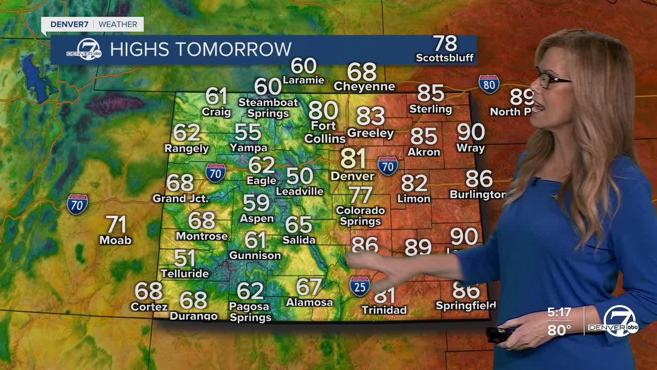


DENVER — Get ready for a windy and active weekend across the region. Starting Saturday, winds will really pick up, especially in the mountains, along the Palmer Divide, and out on the eastern plains. Gusts could reach up to 40 mph in some areas, making it feel a bit chaotic and raising fire weather concerns in the drier spots. Places like Boulder and Fort Collins might dodge the stronger winds at first, thanks to some tricky airflow patterns, but elsewhere, it’s going to be breezy.
Tonight, the mountains will see a few showers and maybe a couple of storms, but by Saturday, those will become more widespread. If you're headed into the high country, expect a bit of everything—rain, some thunder, and even a light dusting of snow by Saturday evening, especially above 8,500 feet. It won’t be a major snow event, but it’s the kind of early-season coating that reminds us winter isn’t far off. Also, don't forget to bring a jacket, the cooler air will affect the mountains before it affects the plains. Highs will only be in the 50s for our northern and central mountains this weekend.

Saturday afternoon also brings a chance for stronger storms over the northeastern plains. While widespread severe weather isn’t expected, a few storms could turn strong enough to produce wind gusts up to 60 mph. These storms won’t bring much rain, but with the environment so dry and winds so strong, anything that does develop could pack a punch.

By Sunday, we cool down significantly. Highs will drop into the 60s for most of the plains as cooler air settles in behind a passing cold front. The day starts off mostly dry, but by late afternoon into the evening, some showers could pop up near the northern Front Range, especially north of I-70. In the higher elevations, snow levels drop again, with a light dusting possible above 8,500 to 9,000 feet.

Looking into early next week, the cooler pattern sticks around through Monday and Tuesday, with highs likely staying in the low to mid 60s, or even cooler in some areas. But don’t get too comfortable with the fall chill: a warming trend kicks off midweek.
By Wednesday through Friday, we’re expecting above-normal temps to return as a ridge of high pressure builds in, bringing back sunshine and dry weather.
DENVER WEATHER LINKS: Hourly forecast | Radars | Traffic | Weather Page | 24/7 Weather Stream
Click here to watch the Denver7 live weather stream.
