

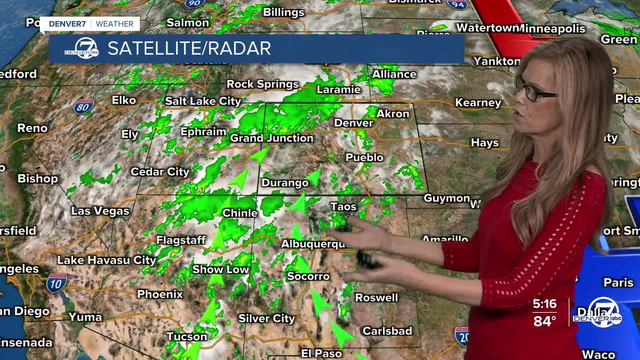


Showers will continue to push across the eastern plains tonight, and cloud cover will stick around for metro Denver.
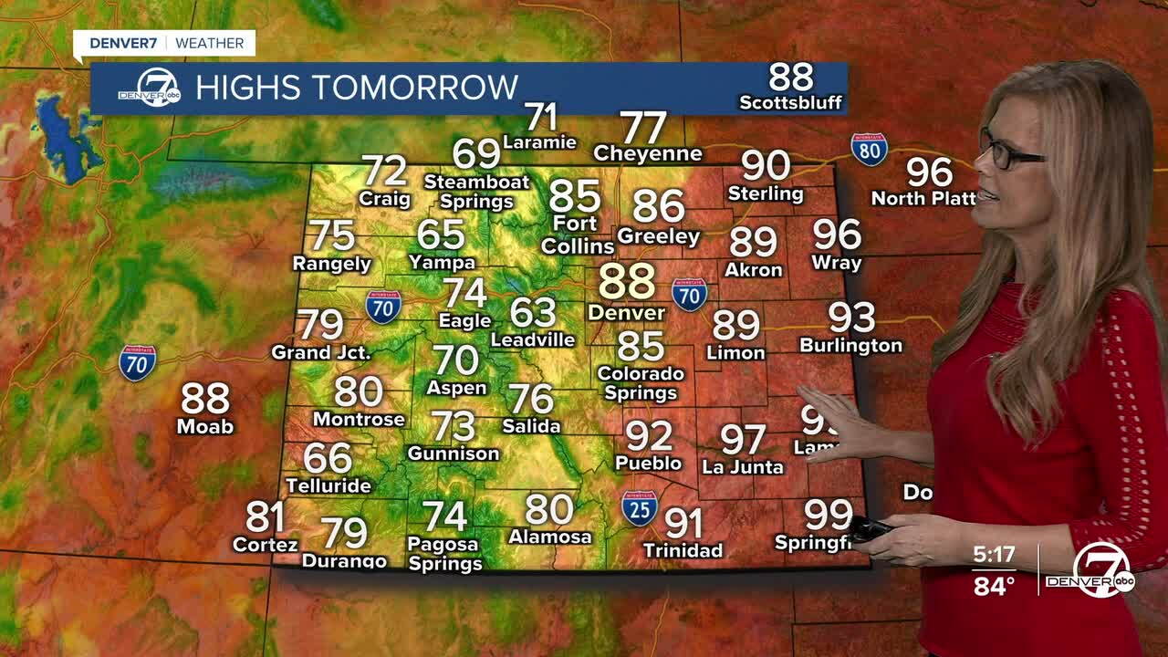
Sunday looks a little cooler, but the monsoon pattern will keep plenty of moisture around. Expect another round of afternoon and evening showers and thunderstorms, with temperatures mostly staying below 90 degrees across the urban corridor.
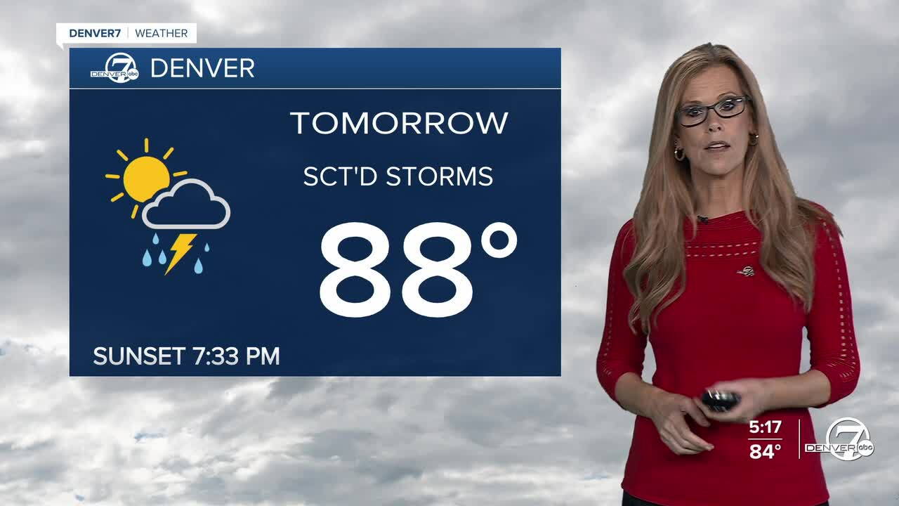
Monday will stay active as even more moisture continues for the Front Range. Showers and storms will be fairly widespread, especially near the mountains, where a few spots could pick up some locally heavy rain. Storms should move along quickly, which should help keep the overall flooding threat limited.
After Monday, the weather turns warmer and drier again. Tuesday through the rest of next week should bring a gradual warming trend, with more sunshine and generally drier conditions. A few isolated afternoon storms will still be possible, but they should be much less widespread.
Overall, expect a stormy stretch through the beginning of the week, followed by a return to warmer and mostly dry weather for much of next week. It looks like it will be warm and dry for Labor Day weekend.
DENVER WEATHER LINKS: Hourly forecast | Radars | Traffic | Weather Page | 24/7 Weather Stream
Click here to watch the Denver7 live weather stream.
